


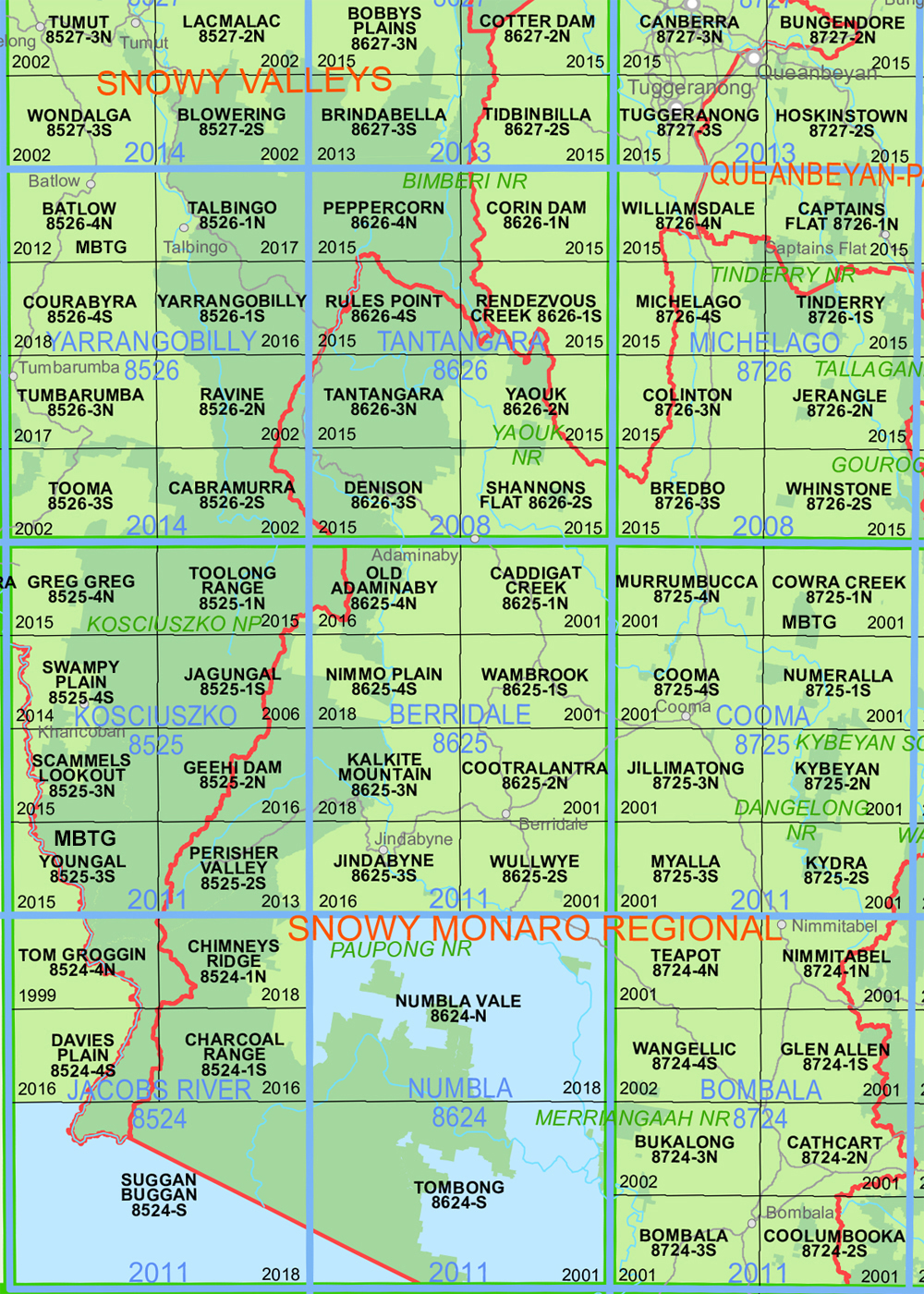
Denison 1-25,000 NSW Topographic Map 8626-3-S
Price range: $16.95 through $29.95
Description:
Denison 1-25,000 NSW Topographic Map Now Print on Demand 2025 Edition
Denison 86263S 1-25,000 scale NSW Topographical map is used for Walking, 4WD, Fishing, Camping, Motorcycle, both On and Off Road, Gold Prospecting and for those simply going for a family weekend drive. Topographical maps show not only Contours of the Terrain but also Walking Tracks, Sealed and Unsealed Roads, Rivers, Creeks, Lakes, Historical Point of Interest, Old Mine Sites mbtg and National and State Park areas.
Main Features of this map includes:
Denison Anglers Reach Part of Lake Eucumbene Gang Gang AAWT Alpine Creek Alpine Creek State Forest Alpine Hill Alpine Inlet Alpine Ridge Billmans Point Black Walters Creek Broken Dam Creek Broken Dam Gully Bugtown Bugtown Creek Bulgar Creek Bulgar Hill Cabramurra Camerons Creek Cemetery Creek Connors Hill Delaneys Creek Denison Denison Island Mount Denison Lake Eucumbene Eucumbene River Four Mile Creek Four Mile Hill Gang Gang Creek Gang Gang Inlet Gang Gang Mountain Goorudee Hughes Creek Hughes Creek Inlet Illawong Bay Town of Denison Denison Hill Kiandra Kiandra Cemetery Kiandra Creek Little Swamp Creek Long Arm Creek Long Plain Creek Long Plain Inlet Lucas Creek Lynchs Creek Lynchs Gully Mars Flat Mars Hill Mount Wallgrove Mudhole Creek The Narrow Nungar Nungar Plain Old Kiandra Goldfields Providence Arm Providence Flat Providence Narrows Providence Portal Rock Forest Creek Rocky Plain Rocky Plain Creek Running Water Creek Sand Point Sawyers Hill Scott Studlands Point Swamp Creek Tabletop Creek Tabletop Mountain Town of West Denison Wallgrove Wallgrove Hill Waterhole Creek Waterhole Flat West Denison The Dip Burgess Creek Burrinjuck Nature Reserve Tantangara Mountain
| Scale: | 1:25000 |
| Latitude Range: | 35 52.5 S – 36 00.0 S |
| Longitude Range: | 148 30.0 E – 148 45.0 E |
| Approx Print Size: | 0.56m X 1.11m |
| Projection: | Transverse Mercator
GDA 2020 Edition 2025 |
You may also like…
-
Ravine 1-25,000 NSW Topographic Map 8526-2-N
Price range: $16.95 through $29.95Select options This product has multiple variants. The options may be chosen on the product page -
Australian Alpine Walking Track Map Set 1
Price range: $390.00 through $600.00Select options This product has multiple variants. The options may be chosen on the product page -
Toolong Range 1-25,000 NSW Topo Map 8525-1-N
Price range: $16.95 through $29.95Select options This product has multiple variants. The options may be chosen on the product page -
Cabramurra 1-25,000 NSW Topographic Map 8526-2-S
Price range: $16.95 through $29.95Select options This product has multiple variants. The options may be chosen on the product page -
Australian Alpine Walking Track Map Set 2
Price range: $425.00 through $625.00Select options This product has multiple variants. The options may be chosen on the product page