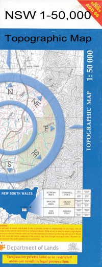
Dolgelly 1-50000 NSW Topographic Map
$16.95
Description:
Dolgelly 8840-S 1-50,000 scale NSW Topographical map is used for Walking, 4WD, Fishing, Camping, Motorcycle, both On and Off Road, Gold Prospecting and for those simply going for a family weekend drive.
Topographical maps show not only Contours of the Terrain but also Walking Tracks, Sealed and Unsealed Roads, Rivers, Creeks, Lakes, Historical Point of Interest, Old Mine Sites and National and State Park areas.
 We can Now LAMINATE and fold your map for $12.00. Just click on the image and add to the Trolley
NOW AVAILABLE PRINT ON DEMAND
Locations within this Map
Barnato Kurrajong Berrica Te Quay Torquay Ardnacona Naroola Eural Morella Whalan Willimill Eulaville Glen Ayr Boxburn Euraba Mozelle Roseneath Hillstead Plantation Waverley Glenmore Morelands Kerriot Dolgelly House Redlands Boonal West Roseview Trewilga Ulinga Kareeba Hawthorne Yuronga Laurel Vale Strathgar Carlingford Glenbranter Collareen Wynola Mirroobil Brownleigh Amondale Pipiriki Delvin Braemar Maxwellton Rosebrook Boonery Wottombri Waroo Kinnimo Merriwee Kincora Boola Boxhill Needlewood Avroe Bonall Well Boonal Boonarl Bora Waterhole Boronga Brigalow Careunga No 1 Bore Careunga No 2 Bore Careunga North Cobbanthanna Waterhole Cooloobong Currica Waterhole Euraba Bore Greaves Carbeen Camp Careunga Artesian Well Site Cooloobong Waterhole Midgeri Watercourse Mungindi Common Newcastle Sandholes Sandholes Tank Sandy Camp Steamar Dam Tyrrell Welbondonga Bore Willimill Bore Woolinna Waterhole Yooloobil Bumble Waterhole Dolgelly Bore Burramundeina Sandridge Boonal Tank Careunga Bore Welbendungah Dundierawina Boopal Tank Barbara Tank Polygonum Swamp Nemenong Tank Welbendong Bore
| Name: | Dolgelly |
| Publisher: | New South Wales Government |
| Scale: | 1:50000 |
| Latitude Range: | 28° 45.0′ S – 29° 0.0′ S |
| Longitude Range: | 149° 30.0′ E – 150° 0.0′ E |
| Datum: | GDA 94 |

