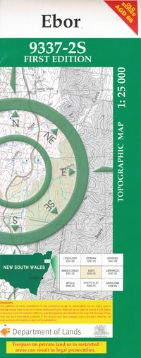
Ebor 1-25,000 NSW Topographic Map
$16.95
Description:
Ebor 1-25,000 NSW Topographic Map 9337-2-S
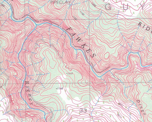
This map includes the following localities: Gwanda Garden Glen Alvie Dunolly Cloverlea Guyfawkes Station Kincora Cooraki Thuddungra Bonnie Doon Billys Point Happy Valley Muderybah The Mount Alawa Bonny Brook Katupna Serpentine Ingledene Back Creek Andersons Creek Banksia Point Barren Mountain Billys Point Creek Bluff Point Cannon Ball Hill Cathedral Rock Cathedral Rock National Park Cooks Creek Darkie Creek Darkie Point Eaglesnest Lookout Ebor Ebor Falls Ebor Public School Emu Swamp Ginnies Creek Great Gulf Guy Fawkes Kangaroo Creek Emu Creek Jennys Creek Jinnys Creek Little Darkie Creek Lookout Majors Point Moffatt Falls Pipeclay Creek Pipeclay Ridge Platypus Creek Point Lookout Rigney Creek Rigneys Creek Sandy Creek Scotchmans Swamp Serpentine Creek Serpentine Nature Reserve Serpentine River Snowy Creek South Branch of Darkie Creek Spring Creek The Pipeclay Waverley Weeping Rock Woolpack Rocks Woolpacks Dingo Creek Yooroonah Bullock Creek The Cascades Little Styx Creek
| Scale: | 1:25000 |
| Latitude Range: | 30 22.5 S – 30 30.0 S |
| Longitude Range: | 152 15.0 E – 152 30.0 E |
| Approx Print Size: | 0.56m X 1.11m |
| Projection: | Transverse Mercator |


