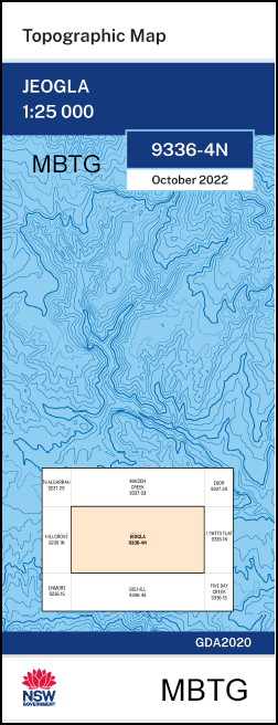
Jeogla 1-25,000 NSW Topographic Map
$16.95 – $28.95
Description:
Jeogla 1-25,000 NSW Topographic Map 9336-4-N Print on Demand
Courallie Drumadoon Ingledene Wakefield Rosewood Wattle Grove Glen View Wanderriby Mount Pleasant Moleen Akuna Rocky Cottage Overdene Jeogla Roxborough Biston Park Hilton Wyatts Creek Avaion Eastwood Mount View Copper Rock Barjo Back Creek Bald Hill Billycan Hill Budgaree Gully Cave Gully Chandler Falls Chandler Public School Chandler River Church Rock Clear Gully Eaglehawk Gully Eely Creek Fire Lookout Egans Gully Ferny Gully Fletchers Gap Glenview Green Gulf Green Gully Green Gully Spur Honey Gully Honeysuckle Creek Honeysuckle Flat Hut Gully Kangaroo Flat Church Rocks Ferney Gully Green Gully Creek Helena Creek Kirkwoods Creek Kirkwoods Gully Lapstone mbtg Lightning Knob Long Gully Lovelocks Flat Macphersons Gully Main Camp Flat Mill Gully Mullens Crossing New England Ridge New England Spur Nine Mile Hut Creek Oaky Falls Oaky River Oaky River Dam Old Washpool Creek Pantons Point Pikes Creek Pipeclay Hill Poganbilla Ponds Creek St Helena Creek St Helena Gulf Razorback Hill Rigneys Gully Rocky Creek Sandy Creek Sawdust Creek Sawdust Gully Sawpit Gully School Gully Second Gully Shepherds Flat Shephards Flat Creek Sleeper Creek Solomons Hill Spankers Gully Styx Styx Creek Styx River Wallaroo Gully Wattle Flat Wollomombi Wollomombi Falls Woolomombi Falls Wright Creek Yard Creek Diamond Creek Dingo Gully Yooroonah Bullecourt Gully Big Anne Checks Lookout Edgars Lookout Farewell Flat Falls Lookout Lower Wattle Flat Station Creek Rockvale Creek
| Name: | Jeogla |
| Publisher: | New South Wales Government |
| Scale: | 1:25,000 |
| Latitude Range: | 30° 30.0′ S – 30° 37.5′ S |
| Longitude Range: | 152° 0.0′ E – 152° 15.0′ E |
| Datum: | GDA 2020 Edition 2022 |
| Approx Print Size: | 0.56m X 1.11m |


