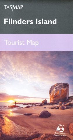
Flinders Island Tourist Map Tasmap
$12.95
8 in stock
Description:
Flinders Island Tourist Map Tasmap
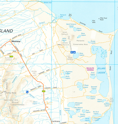
Flinders Island is the largest in the Furneaux Group, comprising 52 granite islands in Bass Strait, off north-east Tasmania. On this island of exceptional beauty you can wander a deserted beach, climb a mountain jutting from the sea, fossick for a Killiecrankie diamond, go kayaking, feast on fresh produce, or simply curl up with a good book and enjoy the serenity.
Whether you are visiting for a few days or a couple of weeks you can use this visitors map to plan your trip and locate all the exciting activities you can enjoy on your holiday.
| Edition: | 1 |
| Production Year: | 2021 |
| Datum: | Geocentric Datum of Australia 2020 (GDA2020 |
| Scale: | 1:120 000 |
Topographic Map
ISBN 931892030656
Read More
You may also like…
-
Highland Lakes Map and Angling Notes Tasmap
Price range: $13.95 through $24.95Select options This product has multiple variants. The options may be chosen on the product page -
Lake St Clair Day Walks Map Tasmap
Price range: $8.95 through $18.95Select options This product has multiple variants. The options may be chosen on the product page -
Walls of Jerusalem National Park Map Tasmap
Price range: $14.95 through $26.95Select options This product has multiple variants. The options may be chosen on the product page -
Frenchmans Cap Walk Map Tasmap
Price range: $8.95 through $18.95Select options This product has multiple variants. The options may be chosen on the product page -
Bruny Island Walks Map Tasmap
Price range: $13.95 through $25.95Select options This product has multiple variants. The options may be chosen on the product page -
Hartz Mountains National Park Map Tasmap
Price range: $12.95 through $24.95Select options This product has multiple variants. The options may be chosen on the product page