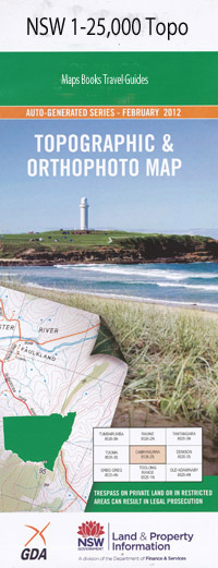
Glenrock 1-25,000 NSW Topographic Map
Price range: $16.95 through $31.95
Description:
9134-1-SPrint on Demand
Warranilla Glenrock Yanolee Avoca Uloola Bald Knob Bald Knob Point Barry Big Log Gully Billy Stevens Gap Bralga Gap Bralga Gully Bralga Tops Branch Creek Gap Campbell Captain Rocks Creek Curricabark Devils Creek Gogs Top Range Grasstree Creek Grasstree Hill Halls Oaky Gully Camp Gully Devils Gully Glenrock Creek Halls Oakey Creek Head of Orham Creek Head of Spring Creek Licking Creek Little Pages Creek Long Creek Long Gully Macs Lookout Mccallums Pinnacle Mcloughlins Creek Orham Creek Pages Creek Pinkertons Creek The Pinnacle Princes Pinnacle Rodney Creek Rodney Gap Round Mountain Schofield Schofields Creek Spring Creek Stephens Creek Stephens Gully Stony Creek Sundown Gap Sundowner Creek Swamp Oak Gully Timor Wandewoi Wandy Woy Wangera Creek Yarramanbah Creek Dingo Creek Dingo Gully Burnt Hut Creek Burnt Hut Gully Little Creek Mount Royal Range
| Name: | Glenrock |
| Publisher: | New South Wales Government |
| Scale: | 1:25000 |
| Latitude Range: | 31° 37.5′ S – 31° 45.0′ S |
| Longitude Range: | 151° 15.0′ E – 151° 30.0′ E |
| Datum: | GDA 94 |
| Approx Print Size: | 0.56m X 1.11m |