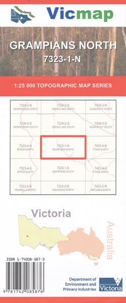
Grampians North 1-25,000 Vicmap Topographic Map
$14.00 – $26.00
Description:
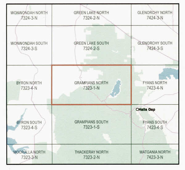
NOT THE ENTIRE NORTHERN GRAMPIANS, JUST A SMALL PART please check the index below
Grampians North 1-25,000 Vicmap topographical map73231n is used for Walking, 4WD,Fishing, Camping, Motorcycle, both On and Off Road, Gold Prospecting and forthose simply going for a family weekend drive.
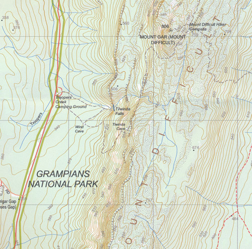
This is a new series of1-25,000 scale maps, only certain sections of Victoria are covered by thesemaps. Topographical maps show not only Contours of the Terrain but WalkingTracks, Sealed and Unsealed Roads, Rivers, Creeks, Lakes, Historical Points ofInterest, Old Mine Sites mbtg and National and State Park areas.
Main Features of this map includes:
Covers the old series Wartook 1-25,000 and the out of print Mount Difficult Vicmap
Mackenzie Falls, Mount Difficult / Mount Gar, Wartook, Lake Wartook, Zumsteins, Cranage, Drummer Falls, Fish Falls, Geranium Springs, Wartook State Forest, Wallaby Rocks Track Bush Camp, DJIBALARA / ASSES EARS, Emu Holiday Park, Wartook, Happy Wanderer Holiday Resort, Tilwinda Falls, mbtg, Tiwinda Cave, Wind Cave, Heatherlie, Boroka Lookout
This is only a small section of the Grampians, the Spatial Vision Northern Grampians cover the entire North section


