

GUNDOWRING SOUTH 1-25,000 Vicmap Topo 8325-3-S
Price range: $14.00 through $26.00
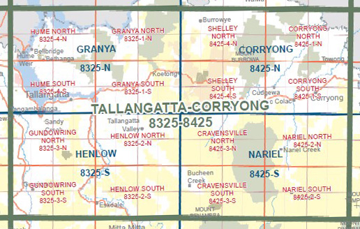
Description:
GUNDOWRING SOUTH 1-25,000 Vicmap Topographic Map 83253S Now Print On Demand is used for Walking, 4WD, Fishing, Camping, Motorcycle, both On and Off Road, Gold Prospecting and for those simply going for a family weekend drive.
This is a new series of 1-25,000 scale maps, all of Victoria is now covered by these maps, including maps over the South Australian and NSW Borders.
Topographical maps show not only Contours of the Terrain but Walking Tracks, Sealed and Unsealed Roads, Rivers, Creeks, Lakes, Historical Points of Interest, Old Mine Sites mbtg and National and State Park areas.
Main Features of this map includes:
Now also covers the old series 1-25,000 Vicmaps Dederang and Tallandoon
Dederang, Tallandoon, Gundowring, Kergunyah South, Upper Gundowring, Gundowring Streamside Reserve (Kiewa River K23), Wild Horse Hill, Steele Spur, Eskdale, mbtg, Mitta Mitta River
You may also like…
-
Beechworth Albury Wangaratta Adventure Map Rooftop
Price range: $11.95 through $25.00Select options This product has multiple variants. The options may be chosen on the product page -
Henlow 1-50,000 Vicmap
Price range: $12.00 through $24.00Select options This product has multiple variants. The options may be chosen on the product page -
GUNDOWRING NORTH 1-25,000 Vicmap Topo 8325-3-N
Price range: $14.00 through $26.00Select options This product has multiple variants. The options may be chosen on the product page