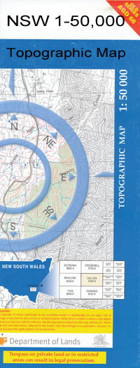
Hay 1-50,000 NSW Topographic Map
$16.95 – $31.95
Description:
Hay 7828n 1-50,000 scale NSW Topographical map is used for Walking, 4WD, Fishing, Camping, Motorcycle, both On and Off Road, Gold Prospecting and for those simply going for a family weekend drive.
Topographical maps show not only Contours of the Terrain but also Walking Tracks, Sealed and Unsealed Roads, Rivers, Creeks, Lakes, Historical Point of Interest, Old Mine Sites and National and State Park areas.
 We can Now LAMINATE and fold your map for $12.00. Just click on the image and add to the Trolley
NOW AVAILABLE PRINT ON DEMAND
Locations within this Map
Hay Abercrombie Abercrombie Creek Benduck Benduck South Beresford Beresford Creek Coonoon Creek Eli Elwah Glen Hope Godfrey Gre Gre Hay Airport Hay Cemetery Hay South Hay State Forest Hay Weir Johnston Park Eli Elwah Public School Hay Permanent Common Lang Melrose Mungadal Narrawidgery Pevensey Pevensey Station Pocock Park Rankin Sixteen Mile Gums Telegraph Creek Telegraph Dam Tindale Toogimbie Twynam Walthams Tank Wandigong Williams Dam Wooloondool State Forest Bungah Creek Hay Reservoir Illiliwa Waradgery Braemar Glenhope Kyeema Sixteen Mile Gums Tank
| Publisher: | New South Wales Government |
| Scale: | 1:50000 |
| Latitude Range: | 34° 30.0′ S – 34° 45.0′ S |
| Longitude Range: | 144° 30.0′ E – 145° 0.0′ E |
| Datum: | GDA 94 |

