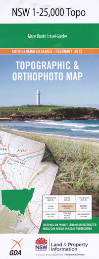
Hillgrove 1-25,000 NSW Topographic Map
$16.95 – $31.95
Description:
9236-1-N Print on Demand
Bayley Park Mining Vale Argyle Stockton Waioma St Helena Wattledale Hillview Ballandine Cooney Kiama Hillgrove Station Fortrose Strathaven Morunda Taabinga Rowena Mount Bora Sandy Creek Glenross Greenvale Glentryst Gara Glengrove Oaklands Eastview Palaroo Thunder Ridge Meroo Nairn Derry Downs Iolanthe Kenwood Park Silverton Mayview Pinehill The Park Applegrove New Park Carrington Bakers Creek Bakers Creek Falls Bakers Creek Gorge Becks Creek Becks Point Billys Gully Blue Hole Bora Bora Mountain Brackins Spur Breretons Falls castle Doyle Chinamans Creek Clarks Gully Commissioners Waters Cooney Creek Devils Elbow Four Mile Creek Gara Dam Gara Falls Gara Falls Reserve Garibaldi Spur Golden Gate Gully Hargrave Hillgrove Hillgrove Creek State Forest Gyra Gyra River Gyra Dam Gyra Falls Hillgrove State Forest Lambing Gully Limerick Creek Mcfeys Spur Metz Metz Gorge Midas Gully Nine Mile Hut Creek Pearsons Creek Pint Pot Creek Ponds Creek Power Creek Powers Creek Smiths Gully Swamp Creek The Great Falls Reserve Trequean Lake Vinegar Gully Vinegar Spur Yellow Gully Bullock Hole Burying Ground Creek Commissioners Water
| Name: | Hillgrove |
| Publisher: | New South Wales Government |
| Scale: | 1:25000 |
| Latitude Range: | 30° 30.0′ S – 30° 37.5′ S |
| Longitude Range: | 151° 45.0′ E – 152° 0.0′ E |
| Datum: | GDA 94 |
| Approx Print Size: | 0.56m X 1.11m |

