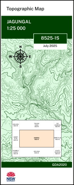


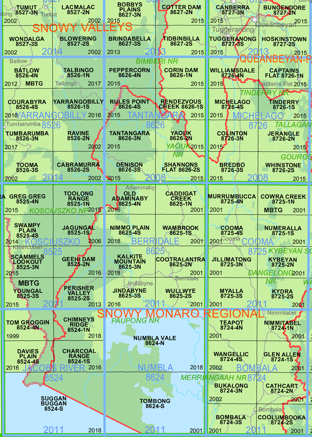
Jagungal 1-25,000 NSW Topographic Map 8525-1-S
Price range: $16.95 through $29.95
Description:
Jagungal 1-25,000 NSW Topographic Map 8525-1-S Now Print on Demand 2025 Edition
Jagungal 1-25,000 scale NSW Topographical map 85251S is used for Walking, 4WD, Fishing, Camping, Motorcycle, both On and Off Road, Gold Prospecting and for those simply going for a family weekend drive.
Topographical maps show not only Contours of the Terrain but also Walking Tracks, Sealed and Unsealed Roads, Rivers, Creeks, Lakes, Historical Point of Interest, Old Mine Sites mbtg and National and State Park areas.
Main Features of this map includes:
Part of the Australian Alpine Walking Track AAWT
Mount Jagungal Tooma River and Geehi River Part of the Snowy River and the Jagungal Wilderness Area
This map includes the following localities: AAWT Back Flat Creek Bare Spur Beaumont Creek Big Bend The Big Bogong Mountain Big Brassy Big Brassy Peak Bobbies Creek Bogong Creek Bogong Swamp Brassy Mountains Brassy Peak Broadway Creek Broadway Top Cascade Creek Cemetery Creek Cup and Saucer Hill Cyclone Creek Dargals Dargals Range Dead Horse Creek Finlays Lookout Gate Creek Ghost Hill Grey Mare Bogong Grey Mare Range Gungarlin Gungartan Hanging Rock Creek Harrisons Creek Jackys Lookout Jagungal Mount Jagungal Jagungal Saddle Jimmies Lookout Keiths Creek Finleys Lookout Grey Mare Grey Mares Bogong Grey Mares Range Gungarlin West Jacky Lookout Jagungal or The Big Bogong Mclean Mcphees Ridge Mailbox Hill Milk Creek Munyang Munyang Range Murray North Bulls Peak North Peak Pretty Plain Pretty Plain Creek Pugilistic Creek Rocky Bogong Hill Ross Ryries Parlour Saltlick Creek Scrub Creek Smiths Lookout South Bulls Peak South Peak Straight Creek Strawberry Hill Strumbo Hill Strumbo Range Tarn Bluff The Basin The Big Brassy Point The Ghost The Granite Peaks The Mailbox Toolong Valentine Creek Valentine Falls Bullock Dray Spur Bulls Head Creek Bulls Head Rock Bulls Peaks Bulls Peaks Creek Bulls Peaks River Dog Peak Duck Creek Burrungubugge River Penders Lookout Mcalister Saddle Wesley Mountain Jagungal Wilderness
| Scale: | 1:25,000 |
| Latitude Range: | 36 07.5 S – 36 15.0 S |
| Longitude Range: | 148 15.0 E – 148 30.0 E |
| Approx Print Size: | 0.56m X 1.11m |
| Projection: | Transverse Mercator
GDA 2020 Edition 2025 |
You may also like…
-
Australian Alpine Walking Track Map Set 2
Price range: $425.00 through $625.00Select options This product has multiple variants. The options may be chosen on the product page -
Australian Alpine Walking Track Map Set 1
Price range: $390.00 through $600.00Select options This product has multiple variants. The options may be chosen on the product page -
Old Adaminaby 1-25,000 NSW Topo Map 8625-4-N
Price range: $16.95 through $29.95Select options This product has multiple variants. The options may be chosen on the product page -
Geehi Dam 1-25,000 NSW Topographic Map 8525-2-N
Price range: $16.95 through $29.95Select options This product has multiple variants. The options may be chosen on the product page