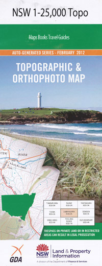
Kerriki 1-25,000 NSW Topographic Map
$16.95 – $31.95
Description:
9334-4-S Print on Demand
Locations within this Map
Delray Murraburra Gowhara Tambay Fernliegh Segenhoe Callimondah Bobin Boondebah Creek Browns Lookout Caparra Creek Clarke Creek Deep Gorge Falls Hardway Creek Head and Shoulders Cliff Hikey Creek Holme Creek Kerriki Creek Knorrit State Forest Little Murrays Creek Little Run Creek Mackay Murrays Creek Number One Potts Point Rowley Rowleys Rock Flora Reserve Rowleys Rock Lookout Sandy Creek Sheep Station Creek Trap Yard Creek Western Branch Dingo Creek Dingo State Forest Dingo Tops Forest Park Bullocks Bow Dingo Forest Knorrit Forest Rowleys River Nowendoc River
| Name: | Kerriki |
| Publisher: | New South Wales Government |
| Scale: | 1:25000 |
| Latitude Range: | 31° 37.5′ S – 31° 45.0′ S |
| Longitude Range: | 152° 0.0′ E – 152° 15.0′ E |
| Datum: | GDA 94 |
| Approx Print Size: | 0.56m X 1.11m |
Read More

