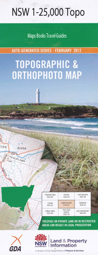
Kerrs Creek 1-25,000 NSW Topographic Map
$16.95 – $31.95
Description:
8731-4-NPrint on Demand
Gum Flat Springdale Weandre Willow Green Day Dawn Kerrs Vale Goona Booka Tarana Double Gates Kalnee Caleula Araluen Gwinganna Belgravia North Villawood Weona Stirling Belgravia Broadacres Mullion Creek Fairview Barren Creek Belgravia Creek Bell River Cactus Gully Calula Calula Creek Cartys Creek Colemans Creek Curragurra Finchs Bald Hill Forbes Isaacs Creek Kerrs Creek Carty Creek Coleman Creek Kerr Kerrs Creek Public School Kerrs Creek Station Kerrs or Larras Lake Creek Larras Lake Long Point Macdonalds Hill Mcdonalds Hill Mount Meehan Middle Creek Million Range Mullins Range Mullion Range State Forest Mullions Range Mullions Range National Forest Mullions Range State Forest Mulyan Nandillion Ponds Source of Oakey or Boshes Creek Oakey Creek Oaky Creek Sammys Mount Sawmill Hill Sawyers Creek Trudgett Warne Bulls Camp Drapers Creek Boshes Creek Flora Reserve Teiddes Lookout Mullions Range Flora Reserve Nandillion Ponds River McDonalds Hill
| Name: | Kerrs Creek |
| Publisher: | New South Wales Government |
| Scale: | 1:25000 |
| Latitude Range: | 33° 00.0′ S – 33° 7.5′ S |
| Longitude Range: | 149° 0.0′ E – 149° 15.0′ E |
| Datum: | GDA 94 |
| Approx Print Size: | 0.56m X 1.11m |

