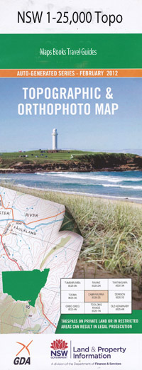
Lake George 1-25,000 NSW Topographic Map
Price range: $16.95 through $31.95
Description:
8727-1-N Print on Demand
Locations within this Map
Brooks Creek Browns Creek Camby Hill Commissioners Hill Dairy Creek Deep Creek Gearys Gap Lake George Golden Point Grove Creek Gundaroo Gundaroo Cemetery Gundaroo Park Gundaroo Public School Kennys Point Camby Mountain Cohen Creek Part The Deep Creek Lake George Range Mcleods Creek Moore Murray Ondyong Ondyong Point Picnic Point St George Hill Poverty Poverty Point Purrorumba Rocky Point Shingle Shingle Hill Shinglehouse Creek Spring Creek Spring Gully Stonewall Point Stony Creek Styles White Hill Diamond Hill Yass River St George Gundaroo Creek Gunderoo Tillygreig Shingle House Creek Taylors Creek
| Name: | Lake George |
| Publisher: | New South Wales Government |
| Scale: | 1:25000 |
| Latitude Range: | 35° 0.0′ S – 35° 7.5′ S |
| Longitude Range: | 149° 15.0′ E – 149° 30.0′ E |
| Datum: | GDA 94 |
| Approx Print Size: | 0.56m X 1.11m |
Read More