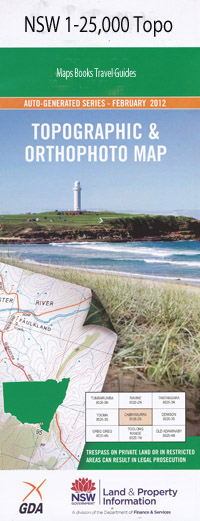
Mandurama 1-25,000 NSW Topographic Map
$16.95 – $31.95
Description:
8730-4-SPrint on Demand
Lyndhurst Mandurama Bald Bald Hill Blagyard Gully Browns Gully or The Yellow Swamp Creek Bugs Ridge Coombing Creek Coombing Falls Deadmans Gully Eagle Hawk Hill Fell Timber Creek Gallymont Gallymont Creek Gallymont Dam Garland Public School Golden Gully Grubbenbun Creek Honeysuckle Gully Hopping Tims Gully Coombing Coombing Rivulet Coombing Waterfall Deadmans Creek Village of Gallymont Garland Railway Station Gully Swamp Gully Swamp Creek Leary Learys Hill Learys Mount Lucan Lyndhurst Public School Lyndhurst Railway Station Macquarie Macquarie Swamp Mcintyres Hill Mandurama Ponds Mandurama Public School Mandurama Railway Station Maquarie Marangulla Creek Mares Flat Mount Lachlan Mount Macquarie Mount Macquarie State Forest Neville Neville Forest Neville Public School Neville State Forest Neville Rifle Range Number One Number One Swamp Plum Pudding Creek Reedy Creek Reilly Lake Rowlands Shaw Snake Creek Snakes Creek Somers Stringy Bark Range Stringybark Ridge Sunnyridge Sydenham Creek Thumbys Creek Willard Garland
| Name: | Mandurama |
| Publisher: | New South Wales Government |
| Scale: | 1:25000 |
| Latitude Range: | 33° 37.5′ S – 33° 45.0′ S |
| Longitude Range: | 149° 0.0′ E – 149° 15.0′ E |
| Datum: | GDA 94 |
| Approx Print Size: | 0.56m X 1.11m |

