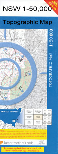
Marra 1-50000 NSW Topographic Map
$16.95
Description:
Marra 8336-S 1-50,000 scale NSW Topographical map is used for Walking, 4WD, Fishing, Camping, Motorcycle, both On and Off Road, Gold Prospecting and for those simply going for a family weekend drive.
Topographical maps show not only Contours of the Terrain but also Walking Tracks, Sealed and Unsealed Roads, Rivers, Creeks, Lakes, Historical Point of Interest, Old Mine Sites and National and State Park areas.
 We can Now LAMINATE and fold your map for $12.00. Just click on the image and add to the Trolley
NOW AVAILABLE PRINT ON DEMAND
Locations within this Map
Longstowe Neridah Mulwaree Araluen Mundadoo Araluen East Killaloe Ramsy Park Mangoplah The Mole Maxwelton The Cowals Fareham Carinya Evergreen Hill Retreat Roslyn Hornsey Wood Fairholme Willie Merryvale Rosebank Melrose Lemon Grove Lynhurst Sunnyside Thornwood Oondooroo Kyabra Newhaven Innisvale Marraban Gundooee Eumong Williewarina Fairview Belar Buckinguy Clements Cowal Gooribun Mara Marbella Marra Creek Marra Creek Public School Marra Hall Ridge Warrigal Waughandry Willeroon Waterhole Willie Well Wundabungay Yahgunyah Cowal Quartpot Cowal The Marra Uki Garfield Tubba Eula Killaloo Mondadoo Crooked Creek Willeroon
| Name: | Marra |
| Publisher: | New South Wales Government |
| Scale: | 1:50000 |
| Latitude Range: | 30° 45.0′ S – 31° 0.0′ S |
| Longitude Range: | 147° 0.0′ E – 147° 30.0′ E |
| Datum: | GDA 94 |

