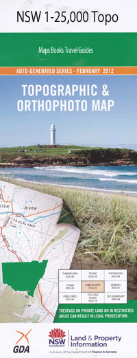
Morna Point 1-25,000 NSW Topographic Map
$16.95 – $31.95
Description:
9332-3-N
Locations within this Map
Anna Bay Boat Harbour One Mile Anna Bay Cemetery Anna Bay East Public School Anna Bay Public School Big Rocky Bobs Farm Bobs Farm Public School Birubi Point Currawong Park Fingal Head Fingal Point Fishermans Bay Fishermans Bay Park Harris Hill Cemetery Point Kingsley Beach Little Kingsley Beach Little Rocky Mangrove Creek Morna Morna Point Murrumburrimbah Swamp Newcastle Bight One Mile Beach Pig Island Samurai Point Schnapper Point Skate Bay Snapper Point Stockton Bight Telegraph Shoal Uptons Island Bangalee Reserve Carramar Reserve Coryule Reserve Iluka Reserve Noamunga Reserve Robinson Reserve Blanch Reserve Bobs Farm Creek Fenningham Creek Wallis Creek The Spit Point Stephens Stephens Point Kate Bay
| Scale: | 1:25000 |
| Latitude Range: | 32° 45.0′ S – 32° 52.5′ S |
| Longitude Range: | 152° 0.0′ E – 152° 15.0′ E |
| Datum: | GDA 94 |
| Approx Print Size: | 0.56m X 1.11m |

