
Munderoo 1-25,000 NSW Topographic Map
Price range: $16.95 through $31.95
Description:
8426-2-NPrint on Demand
Locations within this Map
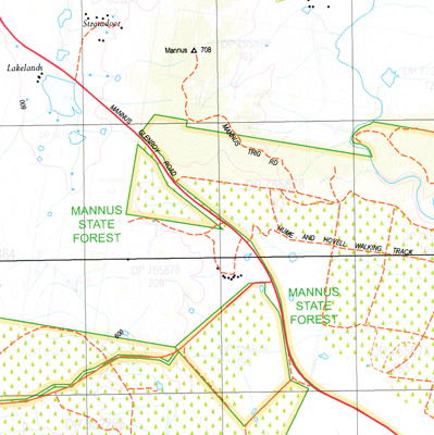
Bells Creek Boundary Creek Crawleys Creek Holman Mannus Mannus Hill Mannus Lookout Mannus Public School Mannus State Forest Munderoo Munderoo Back Creek Munderoo Creek Munderoo or Back Creek Sandy Creek Sawpit Creek Sawpit Gully Sawpit Gully Creek Stony Creek The Glen Tumbarumba Railway Station Doctors Creek Carlson Creek Hovell Crossing Weir Mannus Lake Tumbarumba Station Boggy Creek Mundaroo State Forest Bank Creek Rippling Water Wodalla
| Name: | Munderoo |
| Publisher: | New South Wales Government |
| Scale: | 1:25000 |
| Latitude Range: | 35° 45.0′ S – 35° 52.5′ S |
| Longitude Range: | 147° 45.0′ E – 148° 0.0′ E |
| Datum: | GDA 94 |
| Approx Print Size: | 0.56m X 1.11m |
Read More