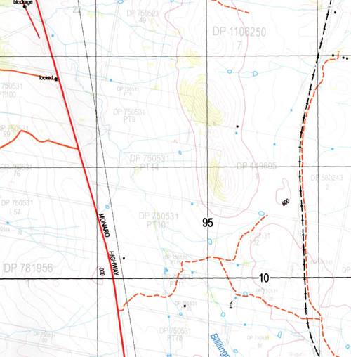
Murrumbucca 1-25,000 NSW Topographic Map
$16.95 – $31.95
Description:
8725-4-N Print on Demand
Locations within this Map
Barkersdale Creek Bark Gunyah Creek Barracks Creek Bilillingra Creek Billilingra Billilingra Creek Billilingra Railway Station Black Ridge The Black Range Bulga Creek Bullanamang Gap Callaghan Chakola Christos Creek Clifford Gillens Crossing Governors Hill Green Gully Chakola Public School Chakola Railway Station Flat Creek Kangaroo Creek Long Creek Muddah Lake Murrells Crossing Murrumbucca Murrumbucca Pinnacle Murrumbucka Pearmans Pearmans Hill Pilot Creek Pine Hut Flat The Pinnacle Rock Flat Creek The Gap The Green Gully Tolbar Creek Wattle Creek Wattle Gully Woolumla Dodds Creek York Umaralla River Cooma Creek Chacola
| Name: | Murrumbucca |
| Publisher: | New South Wales Government |
| Scale: | 1:25000 |
| Latitude Range: | 36° 00.0′ S – 36° 7.5′ S |
| Longitude Range: | 149° 0.0′ E – 149° 15.0′ E |
| Datum: | GDA 94 |
| Approx Print Size: | 0.56m X 1.11m |
Read More


