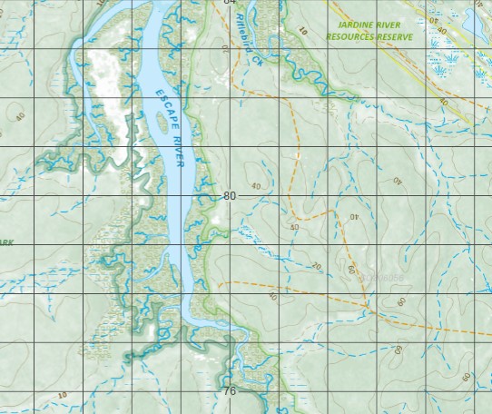
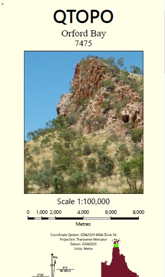
Orford Bay 1-100,000 Topographic Map
$15.95 – $30.95
Description:
Locations within this Map
Amory Arnold Islets Bosanquet Hill Bushy Island Cairncross Islets Corry Cridland Hill Croft Dering Douglas Islet Escape River False Orford Ness Furze Point Gilmore Bank Halfway Islet Henderson Creek Hornet Creek Hunter Hill Hunter Point Jardine River National Park Left Hill Logan Jack Creek McHenry River Milman Number Two Point Orford Bay Orford Ness Pearn Reef Puddingpan Hill Reid Point Sadd Point Shadwell Shadwell Peak Tern Cliffs Thomson Islet Ussher Point Jardine River Resources Reserve Jardine River Cook Shire Arnold Island Arnold Islet Tern Cliff Thompson Island Thomson Island Flat Hill Red Cliff Red Cliffs Olive Creek Dering Creek Douglas Island Cairncross Cairncross Islands Bushy Islet Orfordness McHenery River Shady Lagoon Schneider Lagoon Halfway Island False Orfordness Jardine Islet Jardine Island Pearn Rock Hunter Reefs
| Name: | 7475 |
| Publisher: | Queensland Government |
| Scale: | 1:100000 |
| Latitude Range: | 11° 0.0′ S – 11° 30.0′ S |
| Longitude Range: | 142° 30.0′ E – 143° 0.0′ E |
| Projection / Datum: | Universal Transverse Mercator, GDA 94 |
| Approx Print Size: | 0.56m X 0.56m |


