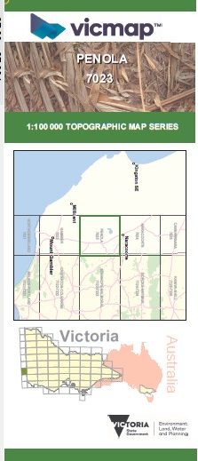
PENOLA 1-100,000 Vicmap Topographic Map 7023
$14.00
Description:
PENOLA 1-100,000 Vicmap 7023 NOW PRINT ON DEMAND is used for Walking, 4WD, Fishing, Camping, Motorcycle, both On and Off Road, Gold Prospecting and for those simply going for a family weekend drive.
This is a new series of 1-100,000 scale maps, all of Victoria is covered by these maps.
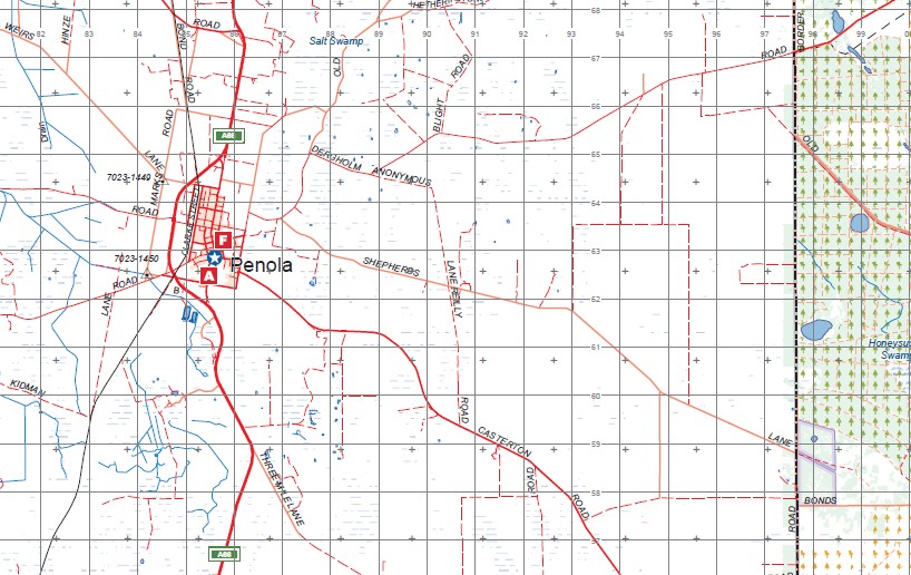
Topographical maps show not only Contours of the Terrain but Walking Tracks, Sealed and Unsealed Roads, Rivers, Creeks, Lakes, Historical Points of Interest, Old Mine Sites and National and State Park areas.
Main Features of this map includes:
The mapping stops approximately 30km past Penola over the South Australian Border.
South Australian side Penola, Bool Lagoon, Coonawarra, Straun
Victorian side Langkoop, Poolaijelo, KANAWINKA State Forest, Dorodong, Lake Mundi, Dergholm, DERGHOLM
STATE PARK
You may also like…
-
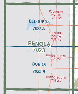
Ellouera 1-50,000 Vicmap
Price range: $12.00 through $24.00Select options This product has multiple variants. The options may be chosen on the product page -
Hamilton Special 1-250,000 Topographic Map
Price range: $15.95 through $30.95Select options This product has multiple variants. The options may be chosen on the product page -
Penola 1-250,000 Topographic Map
Price range: $15.95 through $30.95Select options This product has multiple variants. The options may be chosen on the product page -
Bonds 1-50,000 Vicmap
Price range: $12.00 through $24.00Select options This product has multiple variants. The options may be chosen on the product page