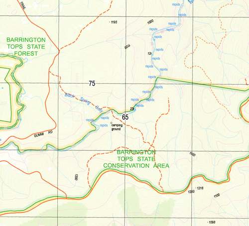
Pigna Barney 1-25,000 NSW Topographic Map
$16.95 – $31.95
Description:
9234-3-N Print on Demand
Locations within this Map
Mernot Curricabark Myra Pola-Fogal Glen Ward Back Gunyah Creek Backwater Creek Bennys Gully Bennys Top Black Spring Gully Black Spring Creek Black Camp Gully Boggy Swamp Boggy Swamp Creek Campbells Creek Camp Creek Channel Creek Copper Creek Cootera Creek Cootera Hill Coxs Creek Flat Top Frog Hollow Grasstree Gap Kangaroo Creek Kangaroo Range Curricabark Creek Left Branch Kornga Limestone Creek Pigna Barney Creek Pigna Barney River Pitch Creek Sawyers Creek Small Swamp Gully Stoney Creek Tuckers Creek Wallaby Creek Wards Creek Wet Creek Wetelagra Creek Bumbimbriga Creek Dewitt Duck Creek Pola Fogal Stony Creek Stoneycreek Long Swamp Creek Tomalla Creek
| Publisher: | New South Wales Government |
| Scale: | 1:25000 |
| Latitude Range: | 31° 45.0′ S – 31° 52.5′ S |
| Longitude Range: | 151° 30.0′ E – 151° 45.0′ E |
| Datum: | GDA 94 |
| Approx Print Size: | 0.56m X 1.11m |
Read More


