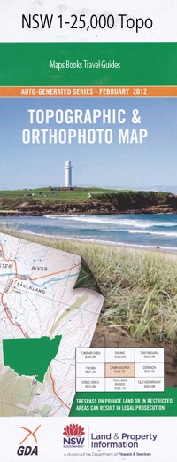
Raleigh 1-25,000 NSW Topographic Map
$16.95 – $31.95
Description:
9537-3-S Print on Demand
Shady Glade Midway Afthonia Greenlands Bonnie Doon Mylestom Urunga Back Creek Archville Boggy Creek Boltwood Island Bonville Bonville Railway Station Bonville Public School Freshwater Creek Hanleys Wall Mcgearys Island Manarm Creek Manarm Overflow Newry Newry Island North Arm North Beach Pine Creek Pine Creek National Forest Pine Creek Park Pine Creek State Forest Raleigh Raleigh Public School Raleigh Railway Station Reedy Creek Reedys Creek Repton Repton Public School Repton Railway Station Scrub Creek Tuckers Island Tuckers Rocks Urunga Island Urunga Public School Yellow Rock Yellow Rock Island Yellow Rock Islet Bundagen Flora Reserve Bundagen Headland Bundageree Creek Bundageree Head Bellinger Heads Bongil Bongil National Park Bundagen Bonville Beach Bonville Creek Middle Creek South Arm Bellingen River Bellingen River South Arm North Arm Bellingen River Bellingen River Bellingen River North Arm Bellinger Bellinger River
| Name: | Raleigh |
| Publisher: | New South Wales Government |
| Scale: | 1:25000 |
| Latitude Range: | 30° 22.5′ S – 30° 30.0′ S |
| Longitude Range: | 153° 0.0′ E – 153° 15.0′ E |
| Datum: | GDA 94 |
| Approx Print Size: | 0.56m X 1.11m |

