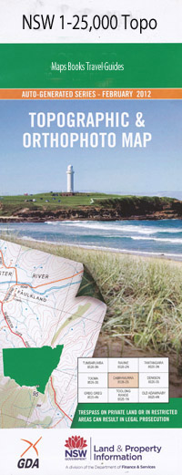
Rappville 1-25,000 NSW Topographic Map
$16.95 – $31.95
Description:
9439-1-NPrint on Demand
Fernhurst Baileys Gap Bald Knob Bambi Creek Mount Belmore Belmore East Cabwong National Forest Carwong State Forest Carwong Waterhole Coles Knob Coombell Coombell Public School Fiddle Creek Hogarth Coombell Railway Station Lollback Creek Lollipop Waterhole Lukes Knob Mount Belmore State Forest Mount Murragang Myrtle Myrtle Creek Myrtle Creek Railway Station Nandabah Nandabah Creek Nandabah Gully Pebbly Ridge Phillip Creek Phillip Swamp Phillips Swamp Rappville Rappville Public School Rappville Railway Station Red Hill Rocky Waterhole The Rocky Waterhole Sandy Arm Sandy Creek Scrubby Creek Terners Swamp The Bangalows The Island Vee Piece Wattle Creek Wineshanty Wyan Wyan General Cemetery Wyan Public School Wyon Wyon Creek Wyon General Cemetery Busbys Creek Busbys Flat Busbys Waterholes Deadman Creek Rapvill
| Name: | Rappville |
| Publisher: | New South Wales Government |
| Scale: | 1:25000 |
| Latitude Range: | 29° 0.0′ S – 29° 7.5′ S |
| Longitude Range: | 152° 45.0′ E – 153° 0.0′ E |
| Datum: | GDA 94 |
| Approx Print Size: | 0.56m X 1.11m |

