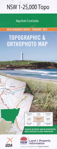
Rockley 1-25,000 NSW Topographic Map
$16.95 – $31.95
Description:
8830-4-S Print on Demand
Arkell Arkell Creek Adderley Back Creek Baring Basalt Hill Blossom Hill Creek Bringellet Brisbane Valley Campbells River Chain of Ponds Creek Charlton Cromie Crystal Hill Cullen Dunns Plains Essington Essington State Forest Fosters Valley Fosters Valley Creek Hawks Nest Hill Hopes Waterhole Irene Johns Gully Jumpers Flat Creek Campbell River Chrystal Hill Davys Creek Dunns Plains Creek or Peppers Creek Leggett Park Lockets Gully Merrick Nerambella or Dunns Plains Oakley Peppers Creek Plateau Reedy Creek Rockley Rockley Park Rockley Public School Rockley South Sewells Creek Sheltons Creek Sheltons Gully Slaty Creek Spring Creek Stony Creek Stromlo Mount Stromlo Thompsons Creek Thompsons Gully Tommys Creek Tommys Gully Triangle Creek Dog Rocks Drakes Gully Drakes Valley Twenty Forests Stevens Park Chrystal Mount Strathroy Brisbane Creek Brisbane Valz Thane Native Dog Creek Triangle Flat Gilmandyke Creek
| Name: | Rockley |
| Publisher: | New South Wales Government |
| Scale: | 1:25000 |
| Latitude Range: | 33° 37.5′ S – 33° 45.0′ S |
| Longitude Range: | 149° 30.0′ E – 149° 45.0′ E |
| Datum: | GDA 94 |
| Approx Print Size: | 0.56m X 1.11m |

