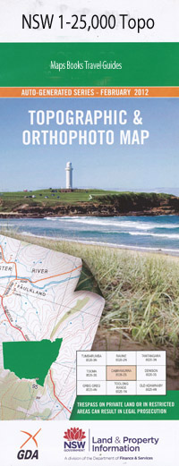
Scott 1-25,000 NSW Topographic Map
$16.95 – $31.95
Description:
9135-2-S Print on Demand
This map includes the following localities: Hillcrest Bindawalla Gula Broadacres Lothlorien Somerleyton Niara Trewalla Dell Brae Kentucky Blue Mint Arl Callaghans Swamp Coolamore Alpha Cheviot Hills Lagoona Downs Whispering Sands Eagle Grange Gerraween Mount View Forest Hills Olsland Llangothan Back Creek Back River Bakers Downfall Creek Bakers Downfall Hill Barnard Gully Basin Creek Black Gap Brandy Springs Creek Coolcumba Dungowan Creek Dungowan Dam Four Mile Creek Frenchmans Gully Gulf Creek Johnston Oaky Creek Frenchmans Creek The Gulf Creek Halls Creek The Little Back River Little Plain Michaels Swamp Murder Dog Nundle State Forest Ogunbil Creek Omeo Paradise Creek Parkes Round Swamp The Round Swamp Rubys Nob Ruwenzori Mountain Ruwenzori Ridge Sandon Scott Shearing Creek Shortens Creek Shortens Gully South Head Creek Spring Gully Spring Gully Creek Sugarloaf Terrible Billy State Forest The Basin The Murder Dog Thompsons Gully Tomalla Creek Tuggolo Creek Tuggolo State Forest Vants Gully Vants Sugarloaf Whites Sugarloaf Willow Tree Creek Willow Trees The Willow Trees Yeerowin Bakers Downfall Callaghans Gully Lever Creek Mintarl
| Scale: | 1:25000 |
| Latitude Range: | 31 22.5 S – 31 30.0 S |
| Longitude Range: | 151 15.0 E – 151 30.0 E |
| Approx Print Size: | 0.56m X 1.11m |
| Projection: | Transverse Mercator |

