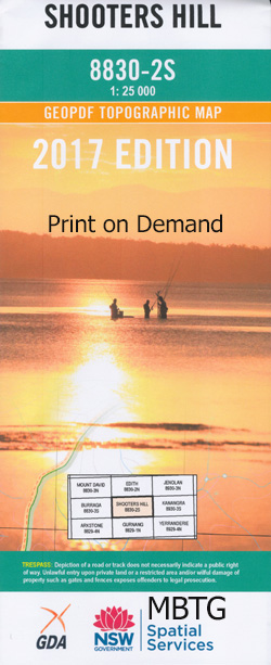
Shooters Hill 1-25,000 NSW Topographic Map
$16.95 – $31.95
Description:
8830-2-S Print on Demand
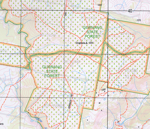
Abercorn Bald Mountain Boggy Swamp Creek Boss Hill Boss Peak Bouchier Ridge Browns Creek Bull Ant Ridge Chardon Canyon Chimney Creek Coppletons Gully Cranfields Creek Dunns Creek Emigrants Creek Flat Ground Creek Garrynian Gingkin Creek Gingkin Grave Hill Green Hill Creek Gurnang State Forest Horse Gully Creek Horse Gully Sinks Jaunter Jaunter Creek Jaunter Ridge Jerrys Creek Kellys Creek Charsfield Creek Dunn-Field Creek Hanrahans Creek Head of Tuglow River Hole Creek Horse Gully Caves Jaunter Range Kowmung Lanes Yards Spring Lawry Cone The Limestone Bridge Limestone Gully Little River Long Arm Creek The Long Arm of Fish River Creek Long Flat Creek Morong Deep Morong Falls Morong Lookout Peatfield Creek Pheasant Hill Platform Hill Porters Retreat Reedy Creek Retreat River Saddle Gully Saddle Hill Scrub Hill Creek Shadowgraph Bluff Sheep Station Creek Shooters Hill Shooters Hill Public School Sugarloaf Hill Sweet Ridge Gully Tricketts Arch Tuglow Tuglow Bluff Tuglow Caves Tuglow Falls Tuglow Hole Creek Tuglow Mountain Tuglow Range Tuglow River Vulcan Watsons Creek Wilcox Ridge Dingo Dell Creek Doctors Point Drogheda Duckmaloi Creek Slys Creek Arch Creek
| Name: | Shooters Hill |
| Publisher: | New South Wales Government |
| Scale: | 1:25000 |
| Latitude Range: | 33° 52.5′ S – 34° 0.0′ S |
| Longitude Range: | 149° 45.0′ E – 150° 0.0′ E |
| Datum: | GDA 94 |
| Approx Print Size: | 0.56m X 1.11m |


