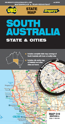
South Australia State and Cities Map 519 UBD Gregorys
Description:
South Australia State and Cities Map 519 UBD Gregorys
The latest edition of the South Australia State and Cities map is an essential tool when travelling in South Australia.
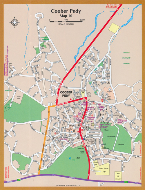
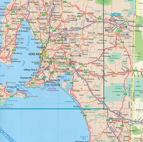
It includes a state map and index to towns and localities at a scale of 1 : 1 900 000 and state touring information. In addition to this, there is a map covering 150km around Adelaide including the Yorke & Fleurieu Peninsulas and Kangaroo Island at a scale of 1 : 100 000 and street level mapping for Adelaide City and Coober Pedy, Hahndorf, Kangaroo Island, Murray Bridge, Nuriootpa, Renmark and Victor Harbor.
ISBN: 9780731932955
Format: Sheet map, folded
Pages: 1
Dimensions: 92cm x69cm
Published: 11 November 2021
WATERPROOF
Read More