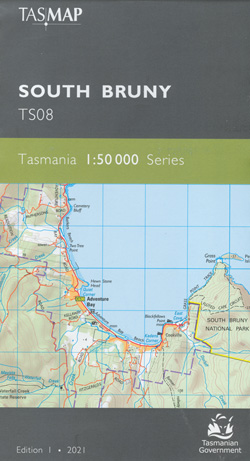
South Bruny 1-50,000 Topographic Map Tasmap
$13.95
1 in stock
Description:
South Bruny 1-50,000 Topographic Map Tasmap
The design of the 1:50 000 Map Series provides a clear and accurate portrayal of topographic information, with symbols and map content giving enhanced depiction of buildings, hill shading and a simplified classification of vegetation.
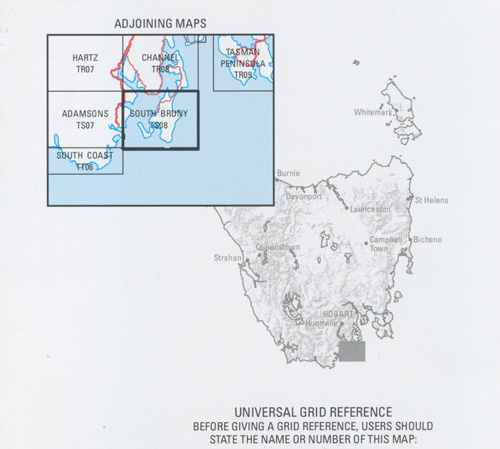
This map covers the portion of Bruny Island south of the Bruny Island Neck and a small portion of mainland Tasmania in the vicinity of Dover and Port Esperance. South Bruny consists of numerous small towns including Alonnah, Lunawanna and the tourist hotspot of Adventure Bay.
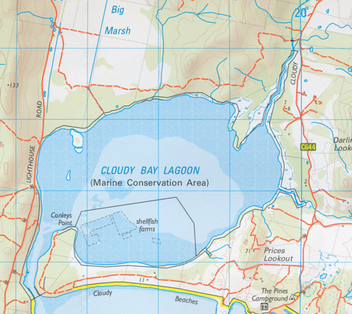
The southern and coastal area are included in the South Bruny National Park, featuring breathtaking cliffs, forests and sandy beaches attracting both bushwalkers and campers. Cape Bruny Lighthouse is a major attraction, being the fourth lighthouse in Australia to be built and overlooking the rugged cliffs towards the southern ocean. Other attractions include the scenic Cloudy Bay with numerous camping areas, beaches and walking tracks.
| Product Number: | TS08 |
| ISBN | 9318923028126 |
| Edition: | 1 |
| Production Year: | 2021 |
| Datum: | Geocentric Datum of Australia 2020 (GDA2020) |
| Scale: | 1:50000 |