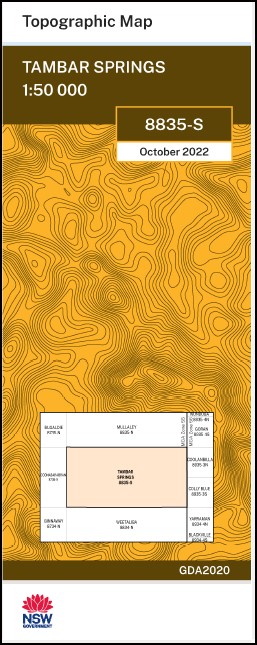
Tambar Springs 1-50000 NSW Topographic Map
$16.95 – $28.95
Description:
Tambar Springs 8835-S 1-50,000 scale NSW Topographical map is used for Walking, 4WD, Fishing, Camping, Motorcycle, both On and Off Road, Gold Prospecting and for those simply going for a family weekend drive.
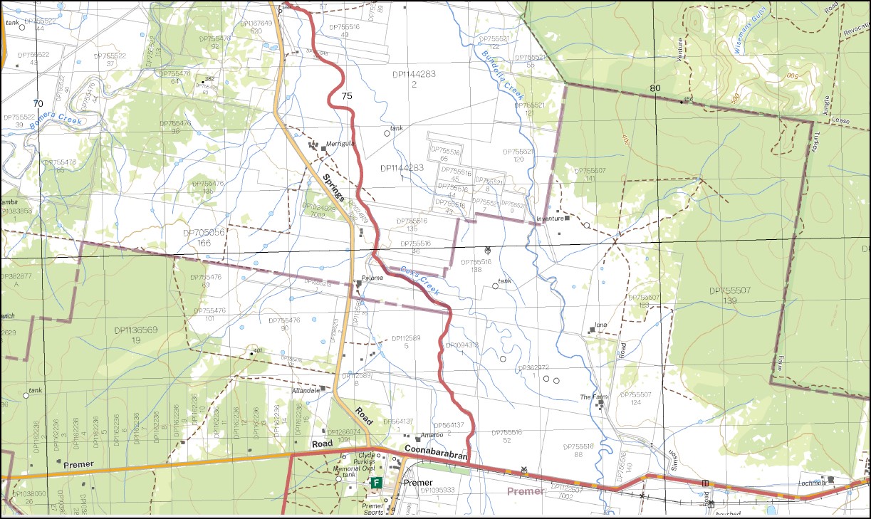
Topographical maps show not only Contours of the Terrain but also Walking Tracks, Sealed and Unsealed Roads, Rivers, Creeks, Lakes, Historical Point of Interest, Old Mine Sites and National and State Park areas.
NOW AVAILABLE PRINT ON DEMAND
Locations within this Map
Mount Marshall Murrumbong Moulin Pinaroo Glen Bulga Kyndalyn Kilchurn Nukkledoon Daoron El-Kay Naparoo Yaralla Mount Warwick Eulin Mount Eldin Rosewood Boorandi Carthian Hill Warrawong Tarawonga Daysdale Penalua Dorrigo Goragilla Mount Mitchell Wandenong Tangaloo Coladdi Quinella Elouera Mia Mia Mount Erin Merrybow Plain Camp Locksley Lockwood Glendowda Currajong Killawarra Mc Gills Warneton Laoola Moonaree Wheatfield Merrybah Pilton Gilnahirk Eurona Table Top Mitchells Springs Lonsdale The Folly Kalkadoon Argyle Myall Grove Belmont Currawong Fairfield Wilga Vale Gean Purlewaugh Merryview Loch Lomond Weebetta Pamaroy Netherby Rokewood Pinegrove Brauton Downs Lemonwood Bingo Long Ridge Flodden Uligal Winduella Brooklyn Tambar Vale Bunoon Box Forest Breffni Ulalah Maranoa Uliman South Uliman Spring Dale Bobella Corella Bomera Creek Keadool Terrawinda Yarrawonga Coralyn Yuggel Mentone Weowna Merrigula Talgai Maroo Tallawong Glendale Carnamah Tamba Dunkeld Iventure Karingal Wandalga Demecser Yarrans Balik Prairie Vale La Paloma Iona Coolibah Iandra Umtali Amaroo Allan Dale The Farm Lochmohr Brampton Park Nullawa Bomera Springfield Malabar Robin Downs Werribee Echo Merrigum Betoota Plantation Uralla Carrawatha Inverness Blantyre Bentwood Leumeah Premer Tambar Springs Baby Baby Creek Back Spring Bandotom Barra Creek Barra Spring Big Bullomin Hill Big Bullomin Boballa Springs Blantyre Creek Black Hill Binnaway State Forest Bomera Waterhole Boorindi Hill Box Ridge Coe Peak Cookabingie Coronation Flat Currajong Creek Cutlers Creek Forest Creek Gleesons Creek Goat Knob Goragilla Creek Goragilla Hill Hill 60 The Gap Long Ridge Public School Little Ridge Mcphersons Gully Mitchells Creek Mucca Mucca Orrs Hill Pinnacle Hill Premer Public School Premer Railway Station Purlewaugh Public School Purlewaugh Post Office Purlewaugh Sports Ground Red Hill Remep Saltwater Saltwater Creek Schoolboy Creek Simmons Creek Skipper Hill The Skipper Small Bullomin Hill Small Pinnacle Hill The Small Pinnacle Spring Creek Sugarloaf Point Swinson Tamarang Tamba Mountain Tambar Tambar Mountain Tambar Spring The Tambar Spring Tambar Springs Public School Tamerang Tangaloo Hill Terrawinda Creek Tinkrameanah Tinkrameanah Nature Reserve Inkrameanah State Forest Tom and Billy Ridge Tominbildoon Tominbildoon Tank Tommy and Billy Ridge Trinkey State Forest Ulaman Ulimambra Creek Ulimambi Creek Urangera Urangera Creek Urangera Gap Urangera Mountain Weaners Retreat Wetalaba Springs Wilson Wisemans Gully Dorins Creek Duffys Creek Sugarloaf Hill Boorindi Mountain Purlawaugh Tank Mitchell Springs Georgeville Bundella Creek Bundulla Creek Ulaman Creek Wearners Retreat Baby Gully Little Plain Creek
| Name: | Tambar Springs |
| Publisher: | New South Wales Government |
| Scale: | 1:50000 |
| Latitude Range: | 31° 15.0′ S – 31° 30.0′ S |
| Longitude Range: | 149° 30.0′ E – 150° 0.0′ E |
| Datum: | GDA 2020
Edition 2022 |


