


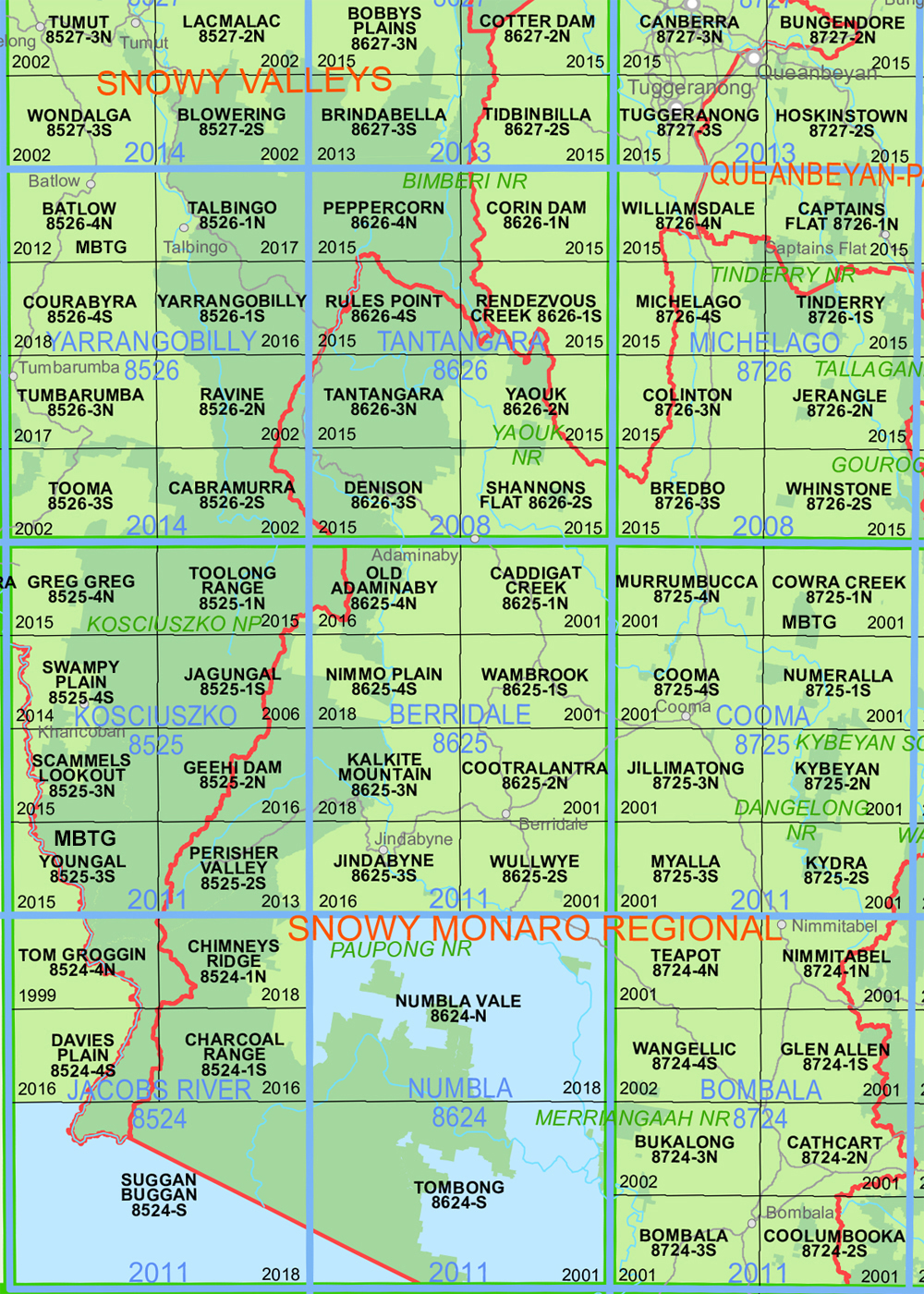
Tantangara 1-25,000 NSW Topographic Map 8626-3-N
Price range: $16.95 through $29.95
Description:
Tantangara 1-25,000 NSW Topographic Map 8626-3-N Print on Demand is used for Walking, 4WD, Fishing, Camping, Motorcycle, both On and Off Road, Gold Prospecting and for those simply going for a family weekend drive.
Topographical maps show not only Contours of the Terrain but also Walking Tracks, Sealed and Unsealed Roads, Rivers, Creeks, Lakes, Historical Point of Interest, Old Mine Sites mbtg and National and State Park areas.
Main Features of this map includes:
Part of the Australian Alpine Walking Track, AAWT Part of the South Tantangara Reservour Mount Nungar, Part of the Murrumbidgee River
This map includes the following localities: Big Bugtown Hill Blanket Hill Blanket Plain Blackfellows Hill Boggy Plain Boggy Plain Creek Brayshaws Hut Chance Creek Charcoal Creek Circuits Hut mbtg Crows Yards Gooandra Gooandra Creek Gooandra Hut Gooandra Hill Gulf Plain Gulf Plain Creek Hains Hut Hayes Gully Hell Hole Creek Jadar Kellys Plain Kellys Plain Creek Hayes Creek Kiandra Creek Little Gulf Creek Nungar Nungar Creek Mount Nungar Nungar Range Nungar Ridge Pedens Hut Racecourse Creek Scofields Hut Simpsons Diggings Six Mile Diggings Tantangara Tantangara Creek Tantangara Dam Tantangara Plain Townsend Hut Traces Hut Wild Horse Plain Witzes Hut Zing Range Zing Ridge Bullock Hill
| Scale: | 1:25,000 |
| Latitude Range: | 35 45.0 S – 35 52.5 S |
| Longitude Range: | 148 30.0 E – 148 45.0 E |
| Approx Print Size: | 0.56m X 1.11m |
| Projection: | Transverse Mercator
GDA 2020 Edition 2025 |
You may also like…
-
Australian Alpine Walking Track Map Set 2
Price range: $425.00 through $625.00Select options This product has multiple variants. The options may be chosen on the product page -
Rendezvous Creek 1-25,000 NSW Topo Map 8626-1-S
Price range: $16.95 through $29.95Select options This product has multiple variants. The options may be chosen on the product page -
Australian Alpine Walking Track Map Set 1
Price range: $390.00 through $600.00Select options This product has multiple variants. The options may be chosen on the product page -
Ravine 1-25,000 NSW Topographic Map 8526-2-N
Price range: $16.95 through $29.95Select options This product has multiple variants. The options may be chosen on the product page