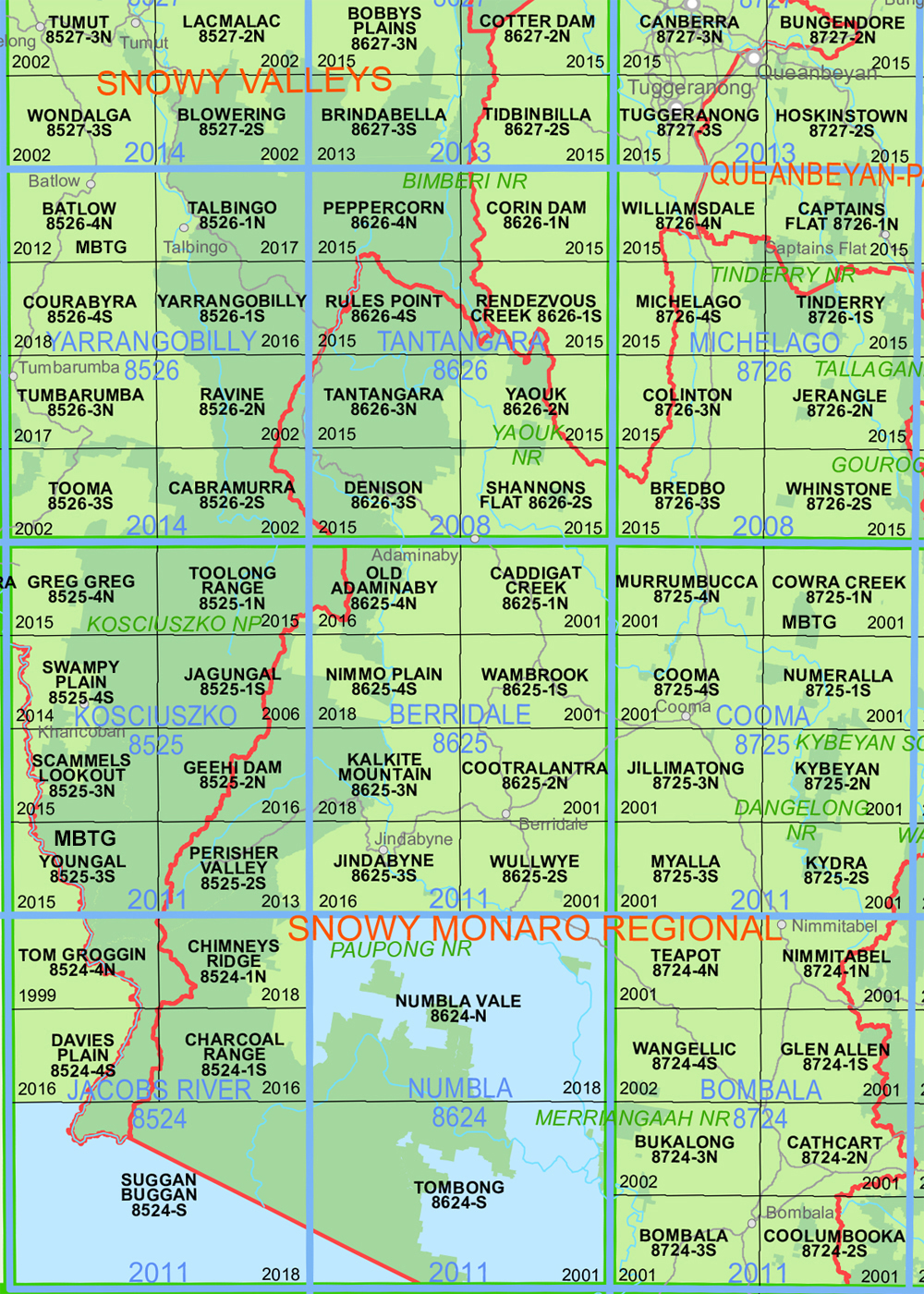
Williamsdale 1-25,000 NSW Topographic Map 2020 Edition
$16.95
1 in stock
Description:
Williamsdale 1-25,000 NSW Topographic Map 8726-4-N 2017 edition
New 2022 edition now available
Angle Bend Angle Crossing Campbell Cassidys Creek Guises Creek Cunningham Cunningham Hill Cuppacumbalong Deep Creek Gibraltar Hill Keewong Keewong Hill Limestone Creek Lobb Lobb Hill Lobbs Hole Creek London Bridge London Bridge Hill Reedy Creek Royalla Royalla Railway Platform The Angle Mount Urialla Warri Warri Hill Waterhole Creek Williamsdale Williamsdale Railway Platform Williamsdale Railway Station Burra Burra Creek Burra Hill Mount Burra Burra Park Royalla Railway Station Ballineen Blue Gum Creek Booroomba Creek Burraburroo Bushfold Bushfold Flats Clearview Cuppa Cuppacumbalong Homestead Elmgrove Fitzs Hill Georges Creek Gigerline Hill Gigerline Nature Reserve Guises Flat Half Moon Creek Honeysuckle Creek Ingledene Ingledene Forest Ingledene Pine Forest Ioma Merringreen Mount Tennent Naas Naas Homestead Sunny Lane Sunshine Telephone Gully Creek Tennent Homestead Tennent Mount Tharwa The Waterholes Vallona Valona White Gates Williamsdale Recreation Reserve Willowvale River View Rose Hill Roseview Royalla Woolshed Sawyers Gully South Lanyon Spring Station Spring Station Creek Australian Capital Territory Canberra Commonwealth Territory Federal Capital Territory Yass-Canberra Lanyon Woolshed Creek Gudgenby River Mount Tennant Nass Naas River Naas Creek
| Name: | Williamsdale |
| Publisher: | New South Wales Government |
| Scale: | 1:25,000 |
| Latitude Range: | 35° 30.0′ S – 35° 37.5′ S |
| Longitude Range: | 149° 0.0′ E – 149° 15.0′ E |
| Datum: | GDA 2020 Edition 2022 |
| Approx Print Size: | 0.56m X 1.11m |


