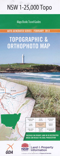
Baldwin 1-25,000 NSW Toographic Map
$16.95 – $31.95
Description:
9036-3-N Print on Demand
Baldwin 90363n 1-25,000 scale NSW Topographical map is usedfor Walking, 4WD, Fishing, Camping, Motorcycle, both On and Off Road, GoldProspecting and for those simply going for a family weekend drive.
Topographicalmaps show not only Contours of the Terrain but also Walking Tracks, Sealed andUnsealed Roads, Rivers, Creeks, Lakes, Historical Point of Interest, Old MineSites and National and State Park areas.
 Laminate and folded this NSW Topographical map, $12.00 see below.
This map includes the following localities: Lyndhurst Melroy Glenara castlevennon Avoca Glencoe Waronga Wheatlands Wirindi Durham Court Strafdale Edgerton Beverley Cullane Fern Hill Breubri Forton Roslyn Taronga Cresent Hills Kinkuna Sugarloaf Burndah Happy Hill Trevallyn Chester Nirvana Bidford Sherwood Glenbrook Kimberley Sorrento Willamby Glenton Derwent Baldwin Borah Crossing Broomstoff Gully Captains Gully Corrigans Camp Goora Bay Greenhatch Creek Lake Keepit Keepit Dam Klori Manilla Maynes Gully Milliwinah Gully Milliwindi North Base Somerton Plain Gully Point Pritchard Round Mountain Rushes Creek Somerton North Base Spring Creek Stegga Stegga Mountain Watts Hill Bullock Yoke Gully Dowe State Forest Drafting Yard Gully Drafting Yard Ridge
| Scale: | 1:25000 |
| Latitude Range: | 30 45.0 S – 30 52.5 S |
| Longitude Range: | 150 30.0 E – 150 45.0 E |
| Approx Print Size: | 0.56m X 1.11m |
| Projection: | Transverse Mercator |

