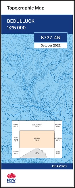
Bedulluck 1-25,000 NSW Topographic Map
Price range: $16.95 through $28.95
Description:
Print on Demand
Bedulluck 87274n 1-25,000 scale NSW Topographical map is used for Walking, 4WD, Fishing, Camping, Motorcycle, both On and Off Road, Gold Prospecting and for those simply going for a family weekend drive.
Topographical maps show not only Contours of the Terrain but also Walking Tracks, Sealed and Unsealed Roads, Rivers, Creeks, Lakes, Historical Point of Interest, Old Mine Sites and National and State Park areas.
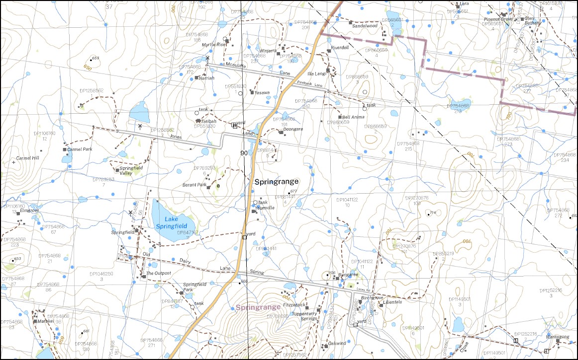
This map includes the following localities: Back Creek Ahchow Hill Bald Hill Bedulluck Bedulluck Hill Bendy Creek Broken Dam Creek Carmel Hill Chainoponds Creek Cow Hill Frogs Hole Gooda Creek Gooromon Ponds Green Hill Hall Havelock Jacks Creek Jeir Creek Jobbins Jobbins Hill Jordan Mount Carmel Havelock Hill Lee Little Bedulluck Creek Mare Hill Morrison Murrumbateman Creek Nobby Nobby Hill Oakey Creek Picaree Hill Piccaree Hill Piccaree Sawpit Creek Scabing Creek Spring Lake Springfield Mount Spring Sugar Loaf Talagandra Talagandra Hill Tower Hill Waterhole Creek Williams Creek Doonan Hills Dooner Hills Gooromon Creek Gooromon Ponds Creek Coots Creek Nanima Springrange
| Scale: | 1:25000 |
| Latitude Range: | 35 00.0 S – 35 07.5 S |
| Longitude Range: | 149 00.0 E – 149 15.0 E |
| Approx Print Size: | 0.56m X 1.11m |
| Projection: | Transverse Mercator
GDA 2020 Edition 2022 |
You may also like…
-
Hoskinstown 1-25,000 NSW Topographic Map
Price range: $16.95 through $31.95Select options This product has multiple variants. The options may be chosen on the product page -
Hall 1-25,000 NSW Topographic Map
Price range: $16.95 through $31.95Select options This product has multiple variants. The options may be chosen on the product page -
Lake George 1-25,000 NSW Topographic Map
Price range: $16.95 through $31.95Select options This product has multiple variants. The options may be chosen on the product page -
Tuggeranong 1-25,000 NSW Topographic Map 8727-3-S
Price range: $16.95 through $28.95Select options This product has multiple variants. The options may be chosen on the product page