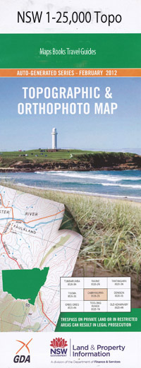
Berenderry 1-25,000 NSW Topographic Map
$16.95 – $31.95
Description:
8934-3-S
Berenderry 89343s 1-25,000 Scale NSW Topographical Map is usedfor Walking, 4WD, Fishing, Camping, Motorcycle, both On and Off Road, GoldProspecting and for those simply going for a family weekend drive.
Topographicalmaps show not only Contours of the Terrain but also Walking Tracks, Sealed andUnsealed Roads, Rivers, Creeks, Lakes, Historical Point of Interest, Old MineSites and National and State Park areas.
 Laminate and folded this NSW Topographical map, $12.00 see below.
This map includes the following localities: Glenalvon Jemmys Creek Kuloo High Park Roma St Antoine Binalong Ballantine Burn-Brae Hampshire Wallabah Cattle Creek Killarney Invernisk Burnbrae Black Rock Llangolan Willunda Krui Pitlochry Lone Pine Tarbundy Pembroke Berenderry Branch Creek Cooba Bulga Stream Ferris Creek Half Moon Creek Kennedys Creek Kings Creek Kings Gully Lorimer Macqueen Creek Mother Kings Gully Nagora Peters Creek Snake Creek Spring Gully Doulagunmala Dry Creek
| Scale: | 1:25000 |
| Latitude Range: | 31 52.5 S – 32 00.0 S |
| Longitude Range: | 150 00.0 E – 150 15.0 E |
| Approx Print Size: | 0.56m X 1.11m |
| Projection: | Transverse Mercator |

