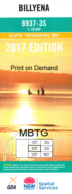
Billyena 1-25,000 NSW Topographic Map
$16.95 – $31.95
Description:
8937-3-S Print on Demand
Billyena 89373s 1-25,000 Scale NSW Topographical Map is usedfor Walking, 4WD, Fishing, Camping, Motorcycle, both On and Off Road, GoldProspecting and for those simply going for a family weekend drive.
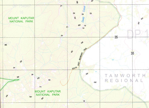
Topographicalmaps show not only Contours of the Terrain but also Walking Tracks, Sealed andUnsealed Roads, Rivers, Creeks, Lakes, Historical Point of Interest, Old MineSites and National and State Park areas.
 Laminate and folded this NSW Topographical map, $12.00 see below.
This map includes the following localities: Happy Valley Paleshades Wave Hill Beresford Park Spring Flat Lynburn Mountain View Wilga Valley Pine Hill East Lynne Merila Violet Downs El Rancho Glencoe Kulaba Narooma Yamba Wando Middle Creek Taylors Plain Glenelg Roslyn Stoney Brook Elfin Avoca Fassifern The Springs Ferndale Montrose Dalwood Bibbla Creek Billyena The Bluff Black Mountain Black Hill Cow Creek Deriah Creek Durrisdeer Eulah Fairfax Public School Glenpatrick Hawks Nest Cliffs Horsearm Creek Kenna Gully Glen Patrick Hawks Nest Bluff The Hawks Nest Horsham Creek Lloyd Creek Maules Creek Maules Creek General Cemetery Maules Creek Cemetery Number Four Hill Old Bibbla Creek Pinnacle Creek Plagyan State Forest Plagyan Well Powells Gap Rusden State Forest Scrubby Hill Slippery Rock Creek Snake Mountain Sugarloaf Sugarloaf Hill Mount Tamerang Teatree Creek Timor Mountain Ti Tree Creek Trough Creek Turkey Ridge Byar
| Scale: | 1:25000 |
| Latitude Range: | 30 22.5 S – 30 30.0 S |
| Longitude Range: | 150 00.0 E – 150 15.0 E |
| Approx Print Size: | 0.56m X 1.11m |
| Projection: | Transverse Mercator |


