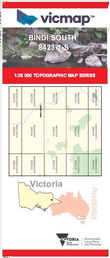
BINDI SOUTH 1-25,000 Vicmap Topo Map 8423-1-S
Price range: $14.00 through $26.00
Description:
BINDI SOUTH 1-25,000 Vicmap Topographic Map 84231S Now Print On Demand is used for Walking, 4WD, Fishing, Camping, Motorcycle, both On and Off Road, Gold Prospecting and for those simply going for a family weekend drive.
This is a new series of 1-25,000 scale maps, all sections of Victoria are now covered by these maps, including maps over the South Australian and NSW Borders.
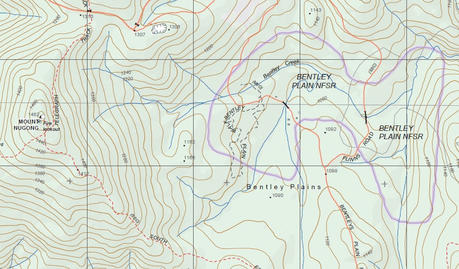
Topographical maps show not only Contours of the Terrain but Walking Tracks, Sealed and Unsealed Roads, Rivers, Creeks, Lakes, Historical Points of Interest, Old Mine Sites mbtg and National and State Park areas.
Main Features of this map includes:
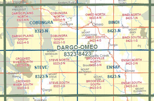
Stony Creek Natural Catchment Area, Splitters Range State Forest, Mount Stawell, Mount Hopeless, Windy Ridge, MOUNT WALTERSON. Nunniong State Forest, MOUNT MCADAM, MOUNT BINDI, MOUNT NUGONG, BENTLEY PLAIN NFSR, Quinn Plain, Timbarra P l a i n s, Timbarra, Timbarra Gorge, Allen Plain, NUNNETT PLAIN NFSR, Nunnett SF, BLUE SHIRT HILL
You may also like…
-
BINDI NORTH 1-25,000 Vicmap Topo Map 8423-1-N
Price range: $14.00 through $26.00Select options This product has multiple variants. The options may be chosen on the product page -
OMEO NORTH 1-25,000 Vicmap Topo Map 8423-4-N
Price range: $14.00 through $26.00Select options This product has multiple variants. The options may be chosen on the product page -
OMEO SOUTH 1-25,000 Vicmap Topo Map 8423-4-S
Price range: $14.00 through $26.00Select options This product has multiple variants. The options may be chosen on the product page -
Ensay 1-50,000 Vicmap
Price range: $12.00 through $24.00Select options This product has multiple variants. The options may be chosen on the product page -
Bindi 1-50,000 Vicmap
Price range: $12.00 through $24.00Select options This product has multiple variants. The options may be chosen on the product page