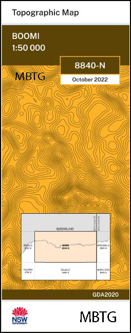
Boomi 1-50000 NSW Topographic Map
$16.95
Description:
Boomi 8840-N 1-50,000 scale NSW Topographical map is used for Walking, 4WD, Fishing, Camping, Motorcycle, both On and Off Road, Gold Prospecting and for those simply going for a family weekend drive.
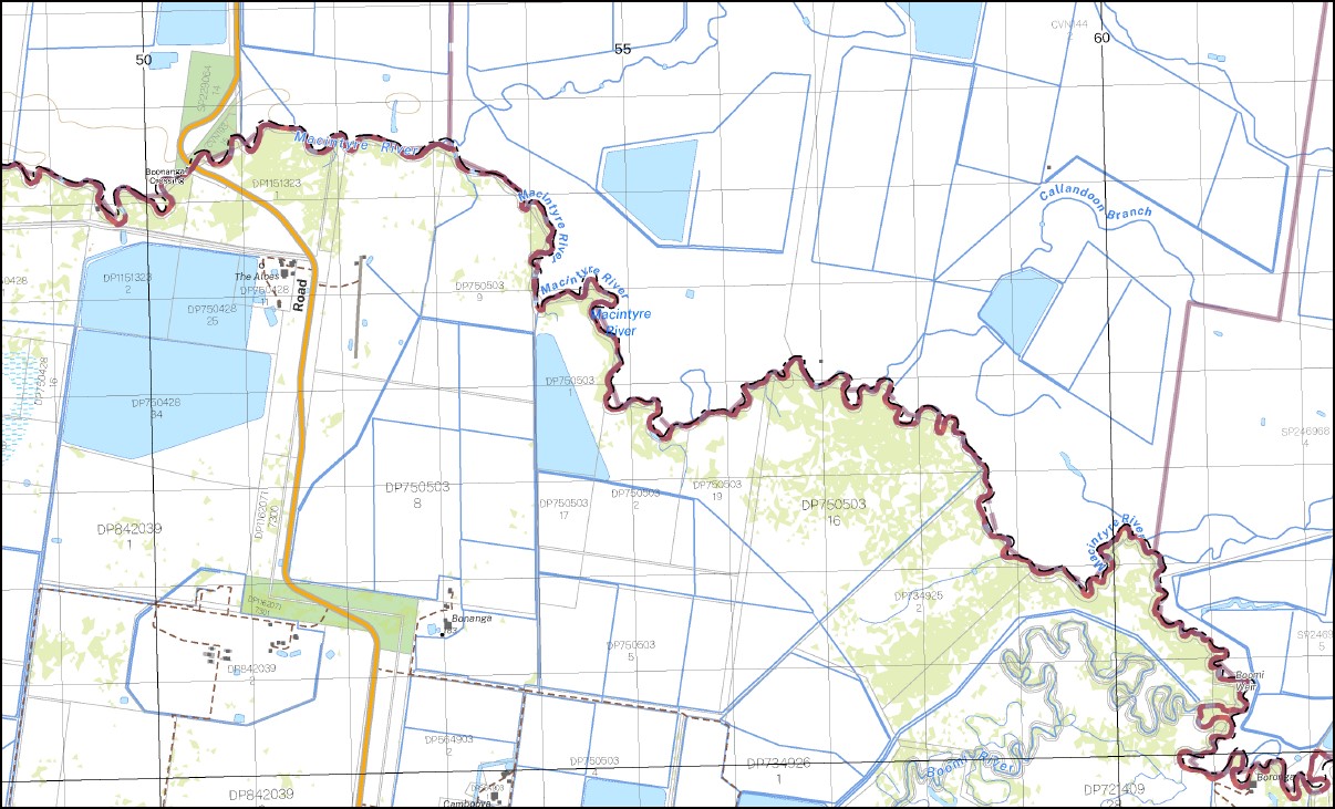
Topographical maps show not only Contours of the Terrain but also Walking Tracks, Sealed and Unsealed Roads, Rivers, Creeks, Lakes, Historical Point of Interest, Old Mine Sites and National and State Park areas.
NOW AVAILABLE PRINT ON DEMAND
Locations within this Map
Boolarwell Kalanga Brooklyn Strathmore Wondulla Boongargil Glentown Westcourt Koramba The Aloes Whynot Werindi Booberoi Riverview Terrewah Bonanga Palarang Stuartville Cambooya Boronga Trefusis Carbuckey Northcote Hazeldene Willow Glen Lochadare Tocal Norlin Courallie Corona Avymore castlevilla Kunopia Bywanna Maplemore New Haven Sunnyridge Guildford Merriba Barnato Kurrajong Berrica Boomi Boronga Nature Reserve Boronga State Forest Boomi Artesian Well Boomi Bore Boomi Cemetery Boomi General Cemetery Boomi Nature Reserve Boomi Public School Boomi Weir Village of Boomi Boonanga Crossing Boonangar Boonangar Crossing Boronga Bore Boronga No 1 Bore Borongo No 2 Bore Boronga No 2 Bore Breenie Creek Canary Commillamori Creek Gnoura Gnoura Creek New South Wales Queensland Border Crossing Boonanga Noora Paleranga Paleranga Hole Paleranga Waterhole Tallwood Crossing Tarpaulin Creek Tycawina Village of Kunopia Boonanga Bridge Borongo Bore Boronga Bore Site Bollaranga Booberanna Creek Booberi Lagoon Boonanga Brendle Lagoon Macintyre River Callandoon Branch Coomonga Creek Frazers Lagoon Momonga Creek Taraba Wondoogle Lagoon Yarrilwanna Creek Borlarwell Moonie Creek Bingara Swamp Boongargie Lucksall Bollarranga Booberai Callandoon Branch Terreweh
| Name: | Boomi |
| Publisher: | New South Wales Government |
| Scale: | 1-50,000 |
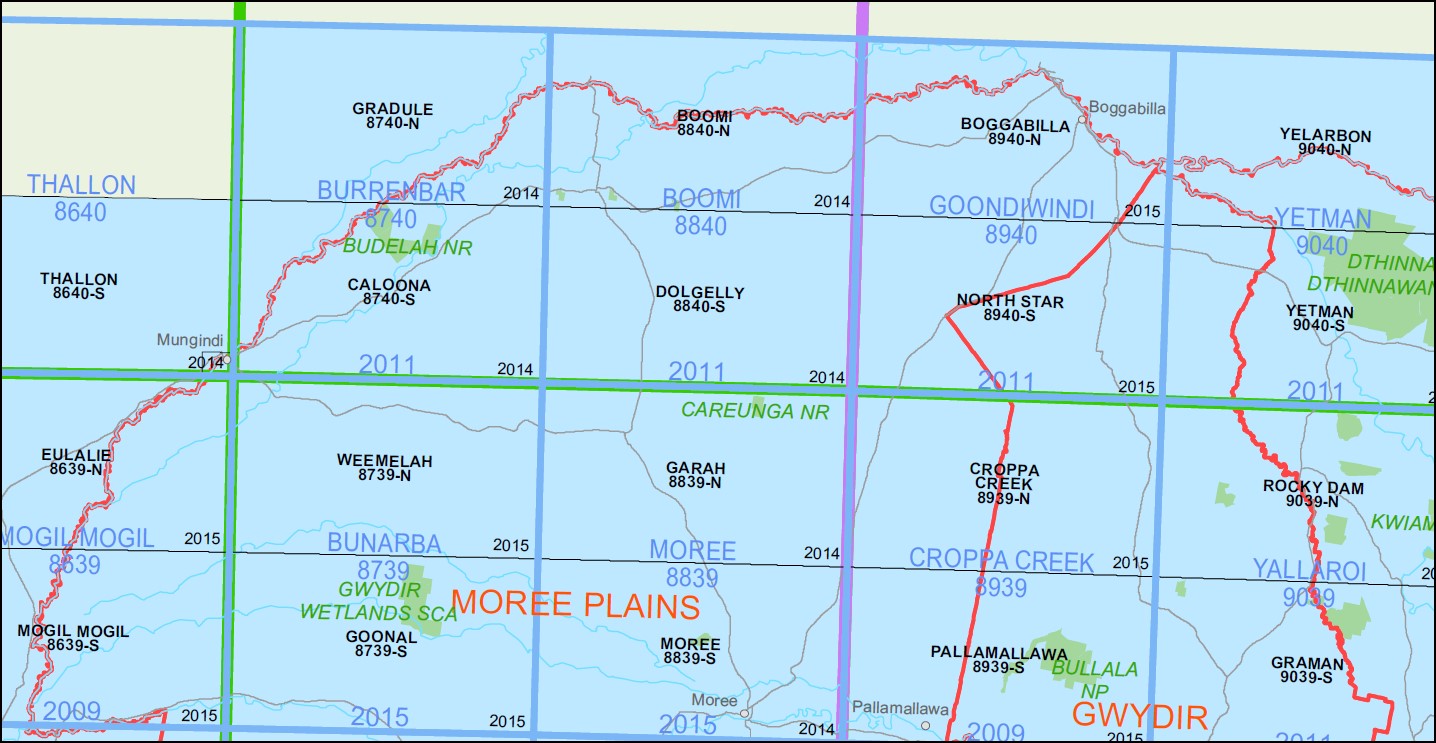
| Latitude Range: | 28° 30.0′ S – 28° 45.0′ S |
| Longitude Range: | 149° 30.0′ E – 150° 0.0′ E |
| Datum: | GDA 2020
Edition 2022 |
You may also like…
-
Bookookoorara 1-25,000 NSW Topographic Map
$16.95 – $31.95Select options This product has multiple variants. The options may be chosen on the product page -
Caloona 1-50,000 NSW Topographic Map
$16.95 – $31.95Select options This product has multiple variants. The options may be chosen on the product page


