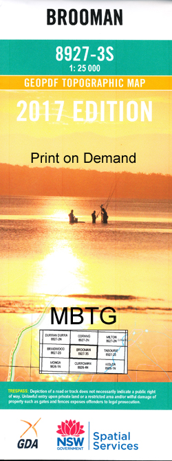
Brooman 1-25,000 NSW Topographic Map
$16.95 – $28.95
Description:
Brooman 1-25,000 NSW Topographic Map 89273S Now Print on Demand
Part of the Budawang National Park
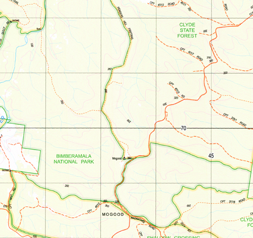
Locations within this Map
Bald Hill Baldy Blands Creek Brooman Mount Budawang Budawang National Park Clyde River Clyde State Forest Colley Spur Crooked Creek Currock Currockbilly Currockbilly Mountain Grassy Creek Crooked Gully Little Belowra Creek Maurice Spur Mogood Penders Hill Mount Roberts Stoney Creek Stony Creek Walkers Creek Wirritin Basin Yadboro Dirty Swamp Creek Burroman Mogood Flora Reserve Mares Hill Flora Reserve Boyne Creek Curroebilly Curroebilly Hill Curroebilly Hills Mount Campbell Bimberamala Creek Budawang Hill
Laminate and folded this NSW Topographical map, $12.00 see below.
| Scale: | 1:25000 |
| Latitude Range: | 35° 22.5′ S – 35° 30.0′ S |
| Longitude Range: | 150° 0.0′ E – 150° 15.0′ E |
| Datum: | GDA 94 |
| Approx Print Size: | 0.56m X 1.11m |
| Publication Date: | 2013 |
Read More


