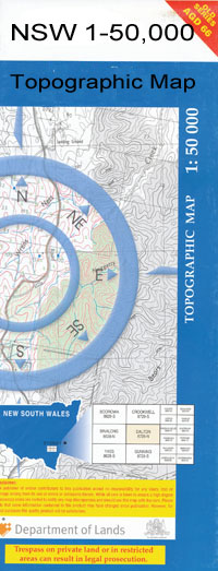
Carrathool 1-50,000 NSW Topographic Map
$16.95 – $31.95
Description:
Carrathool 7929s 1-50,000 scale NSW Topographical map is used for Walking, 4WD, Fishing, Camping, Motorcycle, both On and Off Road, Gold Prospecting and for those simply going for a family weekend drive.
Topographical maps show not only Contours of the Terrain but also Walking Tracks, Sealed and Unsealed Roads, Rivers, Creeks, Lakes, Historical Point of Interest, Old Mine Sites and National and State Park areas.
 We can Now LAMINATE and fold your map for $12.00. Just click on the image and add to the Trolley
Locations within this Map
The Willows Days Merrivale Quindalup Coonara Rokeby Nulabor Berragoon Howlong Corinth Gundaline Alleyne Beabula Beabula Railway Station Bluff Point Boree Point Carrathool Carrathool Public School Carrathool Railway Station Cooey Point Lagoon Eight Mile Lagoon Illilawa Coolamans Waterhole Village of Currathool Currathool West Illiliwa Illilwa Well Mcintyres Corner Narrow Lagoon Nine Mile Well Nullabor Railway Station Oorong Oorong Oorong Lagoon Pembelgong State Forest Pembelong State Forest Rudds Point Rutherford The Dead Finish Toms Point Toms Point State Forest Tully Twenty Mile Gums Twenty Mile Gums Bore Two Trees Uardry Uardry Station Wahwoon State Forest Waradgery State Forest Warweebundimumbie Lagoon Yannaway Lagoon Dinnys Lagoon Burrabogie Pembelgong Flora Reserve Houlong Mulburruga Illiliwa Well Uardry Outstation Nulabor Station Beabula Station Mulberrygong
| Publisher: | New South Wales Government |
| Scale: | 1:50000 |
| Latitude Range: | 34° 15.0′ S – 34° 30.0′ S |
| Longitude Range: | 145° 0.0′ E – 145° 30.0′ E |
| Datum: | GDA 94 |

