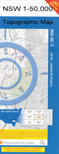
Condobolin 1-50000 NSW Topographic Map
$16.95
Description:
Condobolin 8331-N 1-50,000 scale NSW Topographical map is used for Walking, 4WD, Fishing, Camping, Motorcycle, both On and Off Road, Gold Prospecting and for those simply going for a family weekend drive.
Topographical maps show not only Contours of the Terrain but also Walking Tracks, Sealed and Unsealed Roads, Rivers, Creeks, Lakes, Historical Point of Interest, Old Mine Sites and National and State Park areas.
 We can Now LAMINATE and fold your map for $12.00. Just click on the image and add to the Trolley
NOW AVAILABLE PRINT ON DEMAND
Locations within this Map
Grainee Inglewood Port View Moonda Glenlee Spoin Kop Ridgelands River Glen Kimbarra Coolabah Tamba Kangetong Gulgo Weeroona Myall Grove Bombobbin Waloma Tilga Shamrock Park Nerathong Whitegates Evergreen Osterley Creek Karv Coobong Myahgah Inala Milby Cooradilla Mulguthrie Melody Holewood Stratford Yarmel Riverstone East Borambil Killara Lila Park Myall Park Taroo Boymirri Newlands Somerset Condobolin Banar Tank Berewombenia Berewombenia Lagoon Berewombenia State Forest Berewomberin Lagoon Blue Waterhole The Blue Hole Bomobbin Bomobbin Creek Boymirri Hill Condobolin Aerodrome Condobolin Cemetery Condobolin High School Condobolin Post Office Condobolin Public School Condobolin Railway Station Condobolin State Forest Condobolin Weir Derriwong Derriwong Railway Station Erronwallong Erronwallong Mountain Gavel Gum Waterhole Ilgindrie Kars Condobolin Astronomical Station Condobolin General Cemetery Town of Condobolin Condoublin Major Mitchell Park May Micabil Mitchell Creek Mitchells Creek Mulguthrie Mountain Mulguthrie Swamp Murda Murda State Forest Narathan Creek Nerathon Creek Nerathong Creek Ootha Ootha Public School Ootha North Public School Ootha Railway Station Rocky Spur Sandy Camp South Borambil South Condobolin South Gulgo The Light Bulb Mount Tilga Toulba Lagoon Treal Lagoon Tulbar Lagoon Wallamundry Hill Wallamundry Creek Wallaroi Wallaroi Creek Wallaroi Hill Wallaroi Mountain Wallaroi or Yarnell Creek Wallaroi Tank Watering-Hole Point Weebar Hill Whileys Creek Willamundry Creek Mount Wollomundry Wolomundry Creek Wolongong Wolongong Hill Woolshed Weir Yarrabandai Yarrabundi Bumbuggan Creek Bundaburra Bundaburra Tank Duckholes Creek Dry Creek The Dry Creek Hurley Park Field Plain Gum Swamp Banar Lake The Gums Banar Swamp Murda Creek Avalon North Borambil Siding Goobang Creek Yarrabundi Creek Gunningbland Creek Borambil
| Name: | Condobolin |
| Publisher: | New South Wales Government |
| Scale: | 1:50000 |
| Latitude Range: | 33° 00.0′ S – 33° 15.0′ S |
| Longitude Range: | 147° 0.0′ E – 147° 30.0′ E |
| Datum: | GDA 94 |

