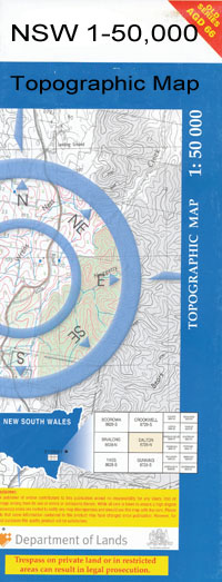
Coonamble 1-50000 NSW Topographic Map
$16.95
Description:
Coonamble 8536-S 1-50,000 scale NSW Topographical map is used for Walking, 4WD, Fishing, Camping, Motorcycle, both On and Off Road, Gold Prospecting and for those simply going for a family weekend drive.
Topographical maps show not only Contours of the Terrain but also Walking Tracks, Sealed and Unsealed Roads, Rivers, Creeks, Lakes, Historical Point of Interest, Old Mine Sites and National and State Park areas.
 We can Now LAMINATE and fold your map for $12.00. Just click on the image and add to the Trolley
NOW AVAILABLE PRINT ON DEMAND
Locations within this Map
Maritana Ningear Trenton Garthowen Old Kilree Corrinella Wycombe Caloma Orange Dale Gum Hole Kilree Ashford Bowra Brooklyn Nelia Darnley Chase Ottendorf Bundy Carrana Whittenbri Worilla Oakstand Nardoo Youie Bore Lucky Corner Gorey Park Loyola Nardoo South Newstead Tourable Cudgewa Caralulup Alverstroke Yuma Thurn Carawatha Raylands Gowrie Woodside Youie Newlands Shawwood Adavale Mimosa Meadowlands Whiteside Gidgenbar Fairy Bower Melrose Lochinvar Wombalano Nelgowrie West Nelgowrie Dinoa Enfield Bimble Sunset Path Muttama Balagula Brenda Lindon Garryowen Dilmon Tara Narraway Kenilworth Milton Beulah Lynwood Luck Enough Currawarra Euronne Gully Wilga Glen The Meglo Myona Gamenya Sandhurst Luckenough Telarah Moonya Warrana Coonamble Balagula Creek Balagula Lagoon Belagula Creek Belah Swamp Bibleroi Creek Bibleroy Creek Black Swamp Bimble Lagoon Brooklyn Creek Campbell Carrabear Coolibah Creek Coonamble Airport Coonamble Cemetery Coonamble High School Coonamble Public School Coonamble Racecourse Coonamble Railway Station Coonamble Rifle Range Coonamble Showground Edgeroi Eurimie Creek Garriwilla Watercourse Gelambula Gidgenbar Watercourse Gum Lagoon Town of Coonamble Coonamble Astro Coonamble General Cemetery Coonamble or Warrena Creek Coonamble or Warrena or Mogomodine Creek Coonamble Primary School Coonamble West Public School Euronne Gully Creek Garrawilla Watercourse Gidginbar Watercourse Girriwilla Watercrourse The Gum Lagoon Lloyd Mogil Moorambilla Narraway State Forest Ningear Creek Oakey Creek Oaky Creek Reeds Lagoon Round Swamp Sir William Waterhole Tallegar Swamp Creek The Reeds Lagoon Thurandgar Creek Thurandgar Swamp Tititiree Creek Tooloon Warrabah Warrana Creek Warrana Weir Warrena Wemabung Woodside Tank Yarragoora Yarrayin Yoee Yourammee Creek Yurammee Creek Kenilwar or Canelwar Waterhole Bimble Island Coonamble Intermediate Garwell Watercourse Branch of Girriwilla Watercrourse Coonamble Astronomical Station Barwon Nature Reserve Smith Park Janet Cant Memorial Apex Park Broome Park Coonamble Sportsground Coonamble Lions Park McDonald Park Warrena Creek Weir Recreation Area Nelgourie Coonamble Creek Euramie Worringerong Creek Worinjerong Creek
| Name: | Coonamble |
| Publisher: | New South Wales Government |
| Scale: | 1:50000 |
| Latitude Range: | 30° 45.0′ S – 31° 0.0′ S |
| Longitude Range: | 148° 0.0′ E – 148° 30.0′ E |
| Datum: | GDA 94 |

