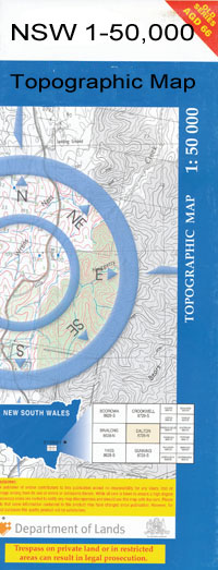
Dandaloo 1-50000 NSW Topographic Map
$16.95
Description:
Dandaloo 8433-S 1-50,000 scale NSW Topographical map is used for Walking, 4WD, Fishing, Camping, Motorcycle, both On and Off Road, Gold Prospecting and for those simply going for a family weekend drive.
Topographical maps show not only Contours of the Terrain but also Walking Tracks, Sealed and Unsealed Roads, Rivers, Creeks, Lakes, Historical Point of Interest, Old Mine Sites and National and State Park areas.
 We can Now LAMINATE and fold your map for $12.00. Just click on the image and add to the Trolley
NOW AVAILABLE PRINT ON DEMAND
Locations within this Map
Inverlea Bywannah Eudundah Derribong Alagala Waterloo Wallanbillan Draggy Wendouree Albert Tank Village of Albert Albert Back or Genaren Creek Bentinck Corses Cowal Dandaloo Dandaloo Cemetery Dawes Crossing Derribong Crossing Enerweena Farrendale Farrendale Tank Genaren Creek Graddle Hastings Hunts Tank Keefs Billy Creek Dandaloo General Cemetery Village of Dandaloo Ferrendale Tank Genaren or Back Creek Craddle Creek Middlefield Mungery Mungery Racecourse Ormonde Ossory P.P. Tank Sandy Creek Swan Cowal Terowie Terowie Public School Wellwood Willanbalang Yralla Bullock Creek Bullock Tank Swamp Back or Genarin Creek Middlefield Station Darktown Nardoo Algalah Kolonga Back Creek Bradys Cowal Ormond
| Name: | Dandaloo |
| Publisher: | New South Wales Government |
| Scale: | 1:50000 |
| Latitude Range: | 32° 15.0′ S – 32° 30.0′ S |
| Longitude Range: | 147° 30.0′ E – 148° 0.0′ E |
| Datum: | GDA 94 |

