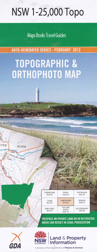
Gunnedah 1=25,000 NSW Topographic Map
$16.95 – $31.95
Description:
Gunnedah 1=25,000 NSW Topographic Map 89362S
Locations within this Map
Netherhail Ringwood Tranquille Victoria Park Orana Cooriaba Trebor Kenwood Gibraltar Reutama Montrose Tininbri Warrawee Phoenix Park Kyrema Mountain Valley Orange Grove Wanda Mount Wilga Malua Redbank Booyong Gunnedah Anzac Park Baldy Hill Boorobil Bradleys Hill Carroll Carroll Public School Charcoal Bend Cooridoon Gascoyne Cove Gunnan Gunnedah Aerodrome Gunnedah High School Gunnedah Post Office Gunnedah Public School Gunnedah Railway Station Gunnedah South Public School Gunnedah Technical College Gunnembene Crossing Gunnenbeme Gunnible Gunnible Mountain Hangmans Hill Gunnable Kibah Creek Kitchener Park Kitchener Sportsground Kitchener Sports Ground The Knob The Knobs Little Klori Hill Little Khori Hill The Little Mountain Namoi River Nobby Rock Pig Ridge Porcupine Hill Porcupine Lookout Pyrambunge Red Gully Riverside Racecourse Talcumbah Lookout Talibah Park The Porcupine The Waterfall Ticklebelly Gully Weetaliba Wolseley Park Porcupine Gunnembene Noggabri Keepit Gibralter Tulcumbah Creek Gunnerbene Peel River Mooki River Conadilla River Gunnendah
| Scale: | 1:25000 |
| Latitude Range: | 30° 52.5′ S – 31° 0.0′ S |
| Longitude Range: | 150° 15.0′ E – 150° 30.0′ E |
| Datum: | GDA 94 |
| Approx Print Size: | 0.56m X 1.11m |