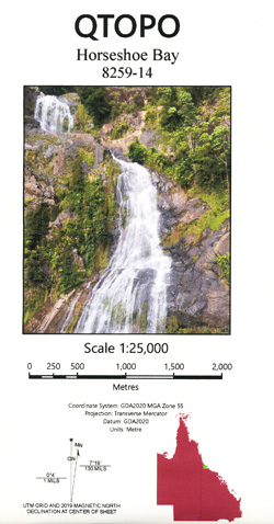


Horseshoe Bay 1-25,000 Topographic Map QLD 8259-14
Price range: $15.95 through $30.95
Description:
Horseshoe Bay 1-25,000 Topographic Map QLD 8259-14
This is the Northern Section of Magnetic Island, you will need Magnetic and Gowrie to cover the entire Island at this scale. GOWRIE IS NEARLY ALL SEA
Redland Bay Victoria Point Cassim Island Cleveland Coochiemudlo Island Cox Bank Empire Point Eprapah Creek Finucane Crossing Fison Channel Garden Island Point Halloran Hilliards Creek Horseshoe Bay Macleay Island Main Beach Moogurrapum Creek Moorlands Morwong Beach Norfolk Beach Oyster Point Perrebinpa Point Perulpa Bay Perulpa Island Potts Point Raby Bay Ross Creek Sandpiper Beach Sandy Creek Sandy Island Snipe Island The Bluff The Horseshoe Thompson Point Toondah Harbour Weinam Creek Ormiston Cleveland Point Thornlands Moreton Bay Redlands Shire Ormiston House South West Rocks West Cleveland Cleveland Central Banana Bank Innes Island Innis Island Pats Point Coondooroopa Point Mugurrapun Creek Lucas Passage Tindappah Island
| Name: | 9542-14 |
| Publisher: | Queensland Government |
| Scale: | 1:25,000 |
| Latitude Range: | 27° 30.0′ S – 27° 37.5′ S |
| Longitude Range: | 153° 15.0′ E – 153° 22.5′ E |
| Projection / Datum: | Universal Transverse Mercator, GDA 2020 |
| Approx Print Size: | 0.56m X 0.56m |
| Publication Date: | Continuously updated |
You may also like…
-
Magnetic Island 1-25,000 Topographic 3 Map Set QLD
Price range: $45.00 through $75.00Select options This product has multiple variants. The options may be chosen on the product page -
Townsville 1-50000 Topographic Map 8259-2 QLD
Price range: $14.95 through $24.95Select options This product has multiple variants. The options may be chosen on the product page -
Gowrie Bay 1-25,000 Topographic Map QLD 8259-11
Price range: $15.95 through $30.95Select options This product has multiple variants. The options may be chosen on the product page -
Magnetic 1-25,000 Topographic Map QLD 8259-13
Price range: $15.95 through $30.95Select options This product has multiple variants. The options may be chosen on the product page -
Magnetic Island 1-50,000 Topographic Map QLD
Price range: $15.95 through $27.95Select options This product has multiple variants. The options may be chosen on the product page