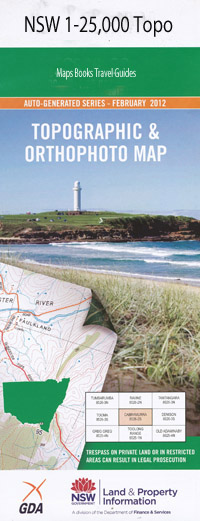
Indiana 1-25,000 NSW Topographic Map
$16.95 – $31.95
Description:
9138-2-S Print on Demand
Roseville Rosedale Colline Crystal Hill Thistlebank Lyncarol Woombi San Fernando Compton Dalkeith Lilydale Bowden Park Melrose Indiana Kelso Garrawildi Wyoming Karaola Murrellen Amaroo Hazlegreen Kempton Apple Tree Gully Alices Gully Albion Flat Back Creek Band of Hope Gully Blue Pinch Boney Gully Box Hill Chellas Chung Kees Gully Copes Creek Dead Horse Creek Death Adder Hill Gum Gully Harrys Creek Jacks Gully Kangaroo Camp Kangaroo Creek Dead Horse Gully Harrys Gully Head of Kangaroo Creek Kings Reef Hill Kings Reef Mountain Limestone Gully Lowes Creek March Gully Peach Tree Gully Pywills Hill Red Hill Sandy Gully Scotts Red Gap Sheep Station Creek Sheep Station Gully Single Single State Forest Smoky Hill Smoky Mountain Snake Creek Snake Gully Stony Creek Summer Hill Creek Swinton Taylors Gully Teatree Creek Tea Tree Gully Wandsworth White Hill Wyoming Falls Bulls Camp Gully Doini Hill Paradise Paradise Creek Querra Creek
| Name: | Indiana |
| Publisher: | New South Wales Government |
| Scale: | 1:25000 |
| Latitude Range: | 29° 52.5′ S – 30° 0.0′ S |
| Longitude Range: | 151° 15.0′ E – 151° 30.0′ E |
| Datum: | GDA 94 |
| Approx Print Size: | 0.56m X 1.11m |

