Lowesdale 1-50,000 NSW Topographic Map
Price range: $16.95 through $31.95
Description:
Lowesdale 8126s 1-50,000 scale NSW Topographical map is used for Walking, 4WD, Fishing, Camping, Motorcycle, both On and Off Road, Gold Prospecting and for those simply going for a family weekend drive.
Topographical maps show not only Contours of the Terrain but also Walking Tracks, Sealed and Unsealed Roads, Rivers, Creeks, Lakes, Historical Point of Interest, Old Mine Sites and National and State Park areas.
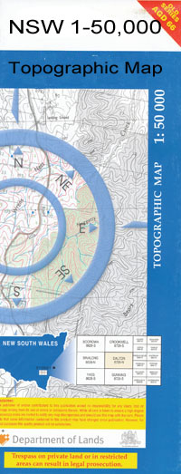
 We can Now LAMINATE and fold your map for $12.00. Just click on the image and add to the Trolley
NOW AVAILABLE PRINT ON DEMAND
Locations within this Map
Quat Quatta Carlyle Hall Corowa Mulwala Bowna Carsons Swamp Tank Collendina Corowa Cemetery Corowa High School Corowa Park Corowa Post Office Corowa Public School Corowa Railway Station Denison East Plain Fergussons Tank Figure Eight Swamp Gray Hanleys Plain Hard Swamp Hopefield Horse Swamp Kangaroo Swamp Corowa Station Figure 8 Swamp Killeneen Kyffins Reserve Lambing Plain Lightning Plain Long Point Lowes Lowesdale Lowesdale Public School Merton Vale Mulwala Canal Lake Mulwala Murchisons Tank Nulla Nulla Nulla Nullah Nulla Nulla Swamp Redlands Redlands Hills Rennie Rennie Railway Station Ringwood Ringwood Tank Ringwood Tank State Forest Sandy Ridges Savernake Sloane Railway Station Sloane Tank Sovereign Swamp Turramia Twelve Mile Twelve Mile Creek Swamp Wahgunyah Wangamong Swamp Warragoon Wheatlands Whisky Swamp Woolshed Plain Dicks Plain Buraja Buraja Primary School All Saints Cellars Blampields Lagoon Bradies Hole Gravel Creek Maggies Lagoon Prentice North Fire Station Rams Head Saint Leonards Cellars The Big Lagoon Savernake Tank Hazeldean Lonesome Pine State Forest The Cottage Coreen The Farm Cullen Hills Gladfield Wingrove Whiskey Swamp Oakbank Yarramathia Glenoak Queens Park Pine View Somerville Goombargana Creek Five Plains Warragoon Station The Grange Hazelwood Westwood Newfield Woodleigh Northcote Park Lochire View Dunolly Hygeia Oak Park Fairview Northwood Lowesdale Tank The Pines Redbank Brakefield Hazelglen Broadmeadows Waverley Sloan Tank Southwood Woodlands Green Shields Burnewang Piney Park Sloane Edenthorpe Rosewood Fergusons Tank Pine Hill Killarney Plentyana Merton Failand Lodge Rio Grange Bolinda Glen Saint Bernards Mulwala Channel
| Publisher: | New South Wales Government |
| Scale: | 1:50000 |
| Latitude Range: | 35° 45.0′ S – 36° 00.0′ S |
| Longitude Range: | 146° 0.0′ E – 146° 30.0′ E |
| Datum: | GDA 94 |