

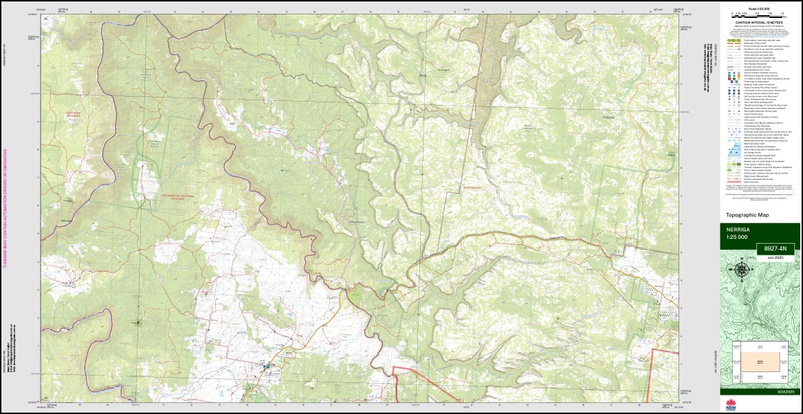
Nerriga 1-25,000 NSW Topographic Map 8927-4-N
Price range: $16.95 through $28.95
Description:
Nerriga 1-25,000 NSW Topographic Map 8927-4-N Print on Demand
Budwang Area Walks on this map
Map Sassafras 1-25,000Black Range – Picture Canyon return
Ettrema – Quiera Clearing – Jingles Pass – Thomsons Walls, Jones Creek Caves – Sentry Box Canyon – Myall Creek return
Maps Touga and Nerriga 1-25,000
Bullfrog Creek – Ettrema Creek – Myall Creek return
Maps Touga and Nerriga 1-25,000
Ettrema – Churinga Head – Endrick River – Endrick Falls
Maps Nerriga and Touga 1-25,000
Back Range Creek Bainbrig Creek Bendi Brook Billys Hill Bindi Brook Bulee Bulee Brook Bulee Forest Bulee Gap Bulee Lookout Bulee River Cons Gap Coolumburra Coolumburra Creek Endrick River Ettrema Gorge Ettrema Ridge Fagans Point Garrets Hut Gully Hollands Gully Hollands Point Jerralong The Jumps The Gap Garrets Hut Creek The Lookout Main Creek Meangora Mountain Creek Mountainy Creek Mountainy Forest Murrays Point Nerriga Nerriga Public School Pigeon House Range Rolfes Gap Sewells Point Skull Island Spa Creek Spring Creek Timberlight Creek Titringo Creek Wattle Flat Willies Creek Yellow Spring Creek Bullfrog Creek Douglass Paddock St George Rolfe Creek Mount Coolumburra Attaahua Farm Wiluna Sassafras Sassafrass
| Name: | Nerriga |
| Publisher: | New South Wales Government |
| Scale: | 1:25,000 |
| Latitude Range: | 35° 0.0′ S – 35° 7.5′ S |
| Longitude Range: | 150° 0.0′ E – 150° 15.0′ E |
| Datum: | GDA 2020
Edition 2025 |
| Approx Print Size: | 0.56m X 1.11m |
You may also like…
-
Sale!
Monga 1-25,000 NSW Topographic Map Ed 2016
Original price was: $16.95.$12.95Current price is: $12.95. -
Touga 1-25,000 NSW Topographic Map 8928-3-S
Price range: $16.95 through $28.95Select options This product has multiple variants. The options may be chosen on the product page -
Brooman 1-25,000 NSW Topographic Map
Price range: $16.95 through $28.95Select options This product has multiple variants. The options may be chosen on the product page -
Milton 1-25,000 NSW Topographic Map
Price range: $16.95 through $28.95Select options This product has multiple variants. The options may be chosen on the product page -
Tianjara 1-25,000 NSW Topographic Map 8927-1-S
Price range: $16.95 through $28.95Select options This product has multiple variants. The options may be chosen on the product page -
Sale!
Braidwood 1-25,000 NSW Topo Map 2015 Edition
Original price was: $16.95.$12.95Current price is: $12.95. -
Corang 1-25,000 NSW Topographic Map 8927-3-N
Price range: $16.95 through $28.95Select options This product has multiple variants. The options may be chosen on the product page -
Endrick 1-25,000 NSW Topographic Map 8927-4-S
Price range: $16.95 through $28.95Select options This product has multiple variants. The options may be chosen on the product page -
Sassafras 1-25,000 NSW Topographic Map 8927-1-N
Price range: $16.95 through $28.95Select options This product has multiple variants. The options may be chosen on the product page