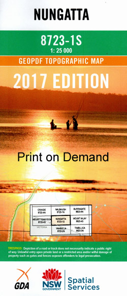
Nungatta 1-25,000 NSW Topographic Map
$16.95 – $28.95
Description:
Nungatta 1-25,000 NSW Topographic Map 8723-1-S Now Print on Demand
Nungatta 1-25,000 scale NSW Topographical map is used for Walking, 4WD, Fishing, Camping, Motorcycle, both On and Off Road, Gold Prospecting and for those simply going for a family weekend drive.
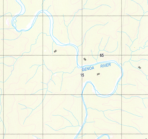
Topographical maps show not only Contours of the Terrain but also Walking Tracks, Sealed and Unsealed Roads, Rivers, Creeks, Lakes, Historical Point of Interest, Old Mine Sites and National and State Park areas.
Locations within this Map
Alex Hut Creek Alex Hut Gully Black Swamp Creek Blackbird Creek Bruces Creek Bull Buck Flat Chinamans Creek Figurehead Gully Flat Rock Creek Genoa Golden Gully Hopping Joe Creek Jillycanyan Ridge Kellys Gully Figure Head Swamp Leading Hill Middle Mountain Neenah Neenah Creek Neenah Gorge Nungatta Nungatta Creek Nungatta Mountain Nungatta National Park Nungatta Peak Nungatta State Forest Pooles Creek Pooles Gully Reef Creek Ricksons Creek Rockton Rockton Falls Rocky Creek Saddle Flaps Sandy Creek Sheep Station Creek Surveyors Creek Surveyors Gully Walla Walla Creek Weatherhead Creek White Rock Falls Lang Creek Donald Langs Creek Cold Water Creek Little Flat Rock Creek Bondi Bondi Creek
| Name: | Nungatta |
| Publisher: | New South Wales Government |
| Scale: | 1:25000 |
| Latitude Range: | 37° 7.5′ S – 37° 15.0′ S |
| Longitude Range: | 149° 15.0′ E – 149° 30.0′ E |
| Datum: | GDA 94 |


