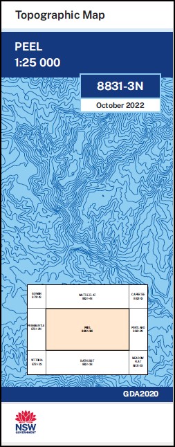
Peel 1-25,000 NSW Topographic Map
$16.95 – $28.95
Description:
Peel 1-25,000 NSW Topographic Map 8831-3-N Print on Demand
Burndown Wyuna Junctionthe Peronne Dulcis Vale Winburn Calabash Rosedale Bondura Maryvale Glen-Elgin Wellagalong Bauhinia Karinya Mountain View Hillside Lindisfarne Sandstrome Tabberatong Springwood Lynside Kharrubah The Poplars The Glen Little Bingletree Kia-Ora Nangara Weldon Park Brucedale Lindamir Glenell Mikish Killoola Wunnah Hollybrook Strathmore Glenellen Bernita Hi-Valli Clear Creek Wonjo Fernhill Jemar Wheatlea Glenora Farm Ardsley Lumeah Sinclen Park Berrimbilla Stud Wandandian Avondale Box Grove Restdown Allowaybank Cangoura Pine Hills Glenn Dell Kimberly Limekilns Road Mount Bathurst Bathurst Mountain Big Oaky Hill Blackies Hill Blackies Mount Black Gully Blackgins Creek Blackgins Gully Bonhams Hill Boyds Hill Boyds Mount Bread and Butter Creek Bread and Butter Flat Bread and Butter Flat Creek Brooks Sugarloaf Cherry Tree Clear Hill Mount Conqueror Dempseys Creek Duramana Duramana Creek Eskdale Foleys Gully Gladstone Hill Gold Gully Hanging Rock Hangmans Hill Jedburgh Jesse Keg Hollow Creek Kelloshiel Creek Kellys Hill Mount Clear General Cemetery Golden Gully Hangman Limekilns Lukes Creek The Mine Dam Mine Hill Mt Rankin Mount Rankin Nobbys Hill Opossum Hill Opossum Pinch Parrs Creek Peel Peel Cemetery Peel Common Pine Range Pipers Landing Ground Pipers Rocks Quart Pot Gully Quart Pot Creek Mount Ranken Rankin Saltram Creek Sandy Creek Scrammies Hill Scrammies Mount Shearers Creek Slippery Creek Snake Gully Spring Creek The Steps and Stairs Stony Creek Stringybark Hill Sugarloaf Tarella Tarella Hill Tarella Mountain Teatree Gully The Junction Waltham Wherlans Hill Whiters Flat Creek The Wool Packs Dicks Creek Bullock Hollow Bullock Hollow Creek Dog Swamp Burnt Hill Burnt Mountain Dunfords Hill Big Oak Hill Little Oak Hill Forest Grove Yarras
| Name: | Peel |
| Publisher: | New South Wales Government |
| Scale: | 1:25000 |
| Latitude Range: | 33° 15.0′ S – 33° 22.5′ S |
| Longitude Range: | 149° 30.0′ E – 149° 45.0′ E |
| Datum: | GDA 2020 |
| Approx Print Size: | 0.56m X 1.11m |


